 Hiking
 Login
Login
 More
More
 EN
EN
 Premium
Beaulieuwandeling
13.2 km • Machelen
 official route
2.2372 1 2.5/5
route offered by
 Addresse starting point (approximate)
Dorpsplein en hoek van Kerklaan - Van Obberghenstraat, 1830 Machelen
 signage
The route is signposted with thematic signs (no nodes). You can use a GPS device or our app to follow the route through the virtual nodes.
 Description
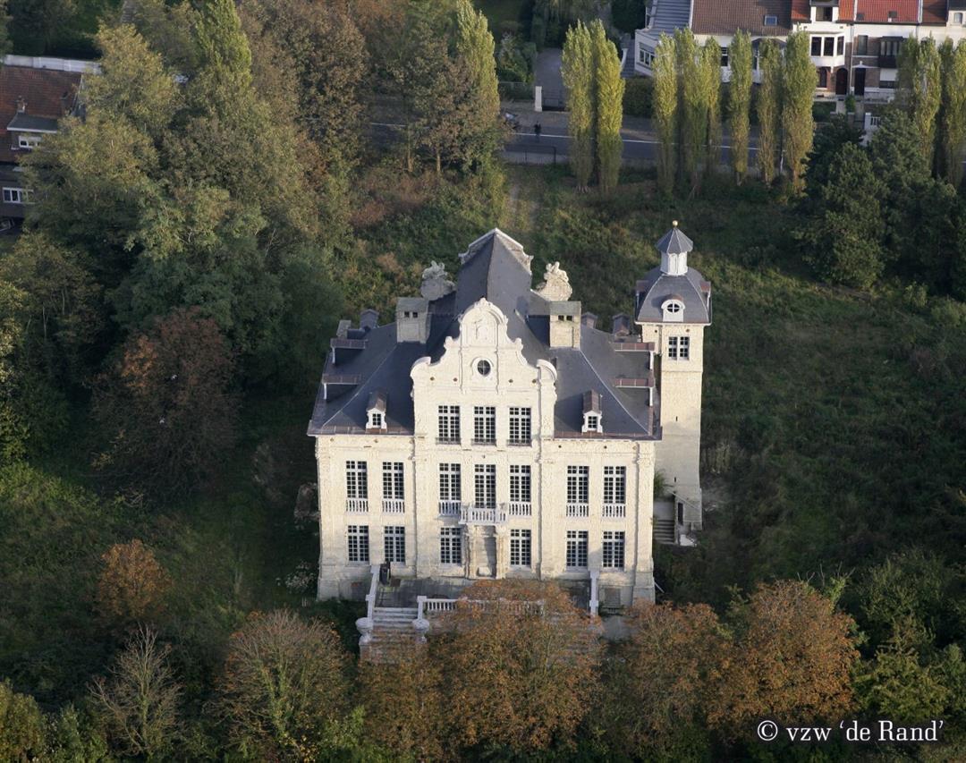
This walk will introduce you to the airport in Machelen, where you are literally in the center of Belgium. Dominated by airport, industry and highways, Machelen is greener than you think, with the Bosveld park and the park of castle Pellenberg.
automatic translation
 nodes to follow
0 km

0.1 km
0.1 km
3.3 km
3.3 km
5.2 km
6.9 km
7.5 km
7.5 km
9.8 km
11.4 km
12.1 km
13.1 km

13.2 km
Sunday, January 10, 2021 by L.V.The whole route runs quasi along footpaths. It is a very noisy route, you can hear car traffic all the time, several times very present. Also the airport nearby with its low-flying aircraft makes it a busy place. Especially good to realize how much virtue a forest can do. Was glad when I returned home to the silence.
automatic translation


 Upgrade to Premium Plus
