 Hiking
 Login
Login
 More
More
 EN
EN
 Premium
Zegbroek walk short - 4.3km
automatic translation
4.1 km • Tremelo
2.3713 1 5/5
route offered by
Toerisme Tremelo
 Addresse starting point (approximate)
Pater Damiaanstraat 37, 3120 Tremelo
 signage
The route is fully signposted with thematic signs (no nodes).
 Description
- Follow the arrows with red squares (4.3km) from the Damien Museum.
- This walk is not accessible to wheelchairs or strollers. In wet weather some paths may be boggy.
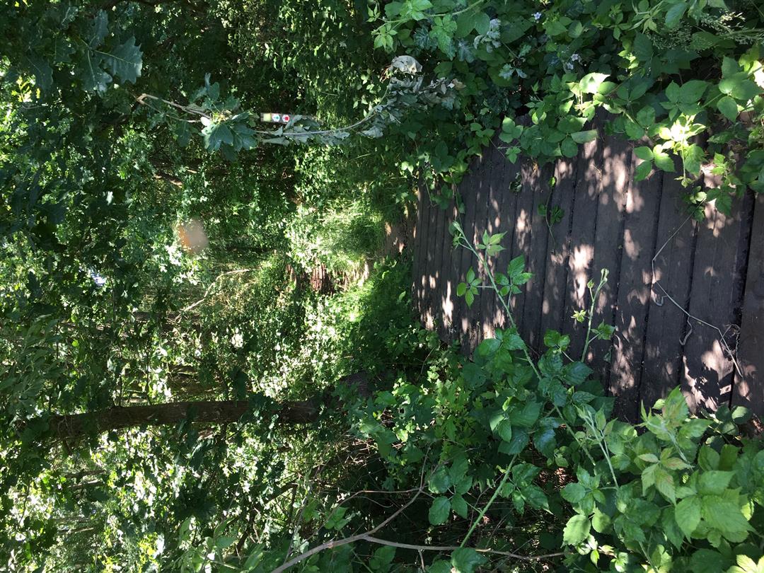
Near the birthplace of Father Damien in Ninde you will find the Zegbroek. This nature reserve is part of the recognized landscape 'Blaasberg'.
The Zegbroek is a damp, boggy, old meander of the Demer. You can enjoy a variety of biotopes: swamp forests, flowery grasslands, fields and ponds. This variety makes Zegbroek a paradise of ferns, sedges and many other plant species.
Thanks to beautiful boardwalks, the trouser forests remain walkable. In this old Demer meander you can observe a rare natural phenomenon: a quaking bog. Those who venture onto such a quaking bog imagine themselves on a water bed.
Besides the typical peat and sedge species, you can regularly spot a marsh harrier or a partridge. Along the water edges salamanders, dragonflies and butterflies find their place.
More information about Zegbroek: https: //www.natuurpunt.be/natuurgebied/zegbroek
automatic translation


 Upgrade to Premium Plus
