 Hiking
 Login
Login
 More
More
 EN
EN
 Premium
Nature walk Balenberg - 2.5km
automatic translation
2.2 km • Tremelo
2.3284 0 0/5
route offered by
Toerisme Tremelo
 Addresse starting point (approximate)
Balenbergstraatje 11, 3128 Baal
 signage
The route is fully signposted with thematic signs (no nodes).
 Description
- Follow Natuurpunt's blue arrows from the Sven Nys Cycling Center.
- Short hike, but with climbing and descending.
- This hike is not accessible for wheelchairs or strollers.
In wet weather, some paths may be boggy.
The Balenberg is an isolated hill in Baal, borough of Tremelo. It is a small but distinct witness of the Diestian hilly landscape, on the edge of the flat South Kempen and the hilly Hageland.
The Balenberg is cut in two by a hollow road. The high Balenberg, with its 45m height, is one of the highest points in Lower Belgium. The lower part reaches a height of 39m and was mainly known as terrain for motocross and cyclocross competitions.
Now the lower Balenberg houses the Sven Nys Cycling Center, the center for and about off-road cycling.
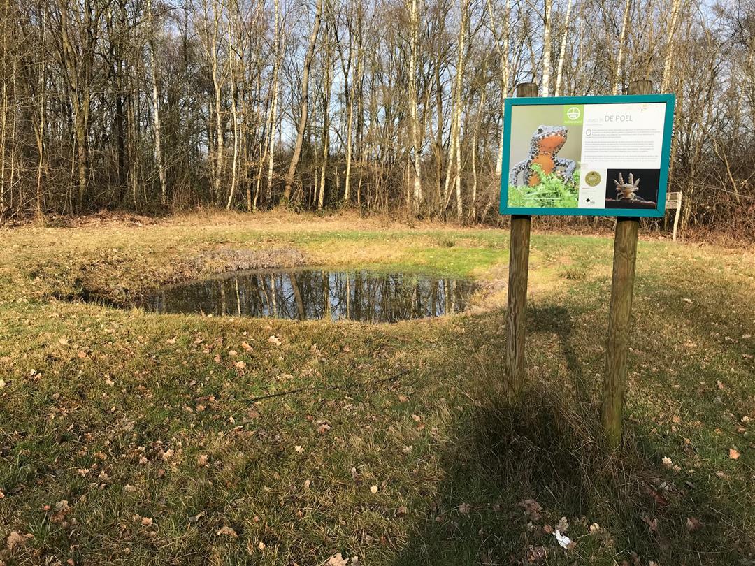
The forest on the Balenberg is an oak and beech forest with seedlings of birch. ln the undergrowth we find, among other things, common salomon's seal, honeysuckle, blackthorn and rowan. The pond, along which the hike passes, is home to salamanders, frogs and dragonflies, among other things. You'll also find the brown fire butterfly here. A very rare species that loves sparse grasslands and heaths with lots of flowers.
Find more info about the Balenberg here.
automatic translation


 Upgrade to Premium Plus
