 Hiking
 Login
Login More
More EN
EN Premium
Linden Forest Walk
automatic translation
7.7 km • Lubbeek
 official route
7.7 km
0.0 km
0.0 km
route offered by
 Addresse starting point (approximate)
Sint-Kwintenkerk, Martelarenplaats, 3210 Linden (Lubbeek)
 signage
The route is fully signposted with nodes.
© Lander Loeckx
 Description
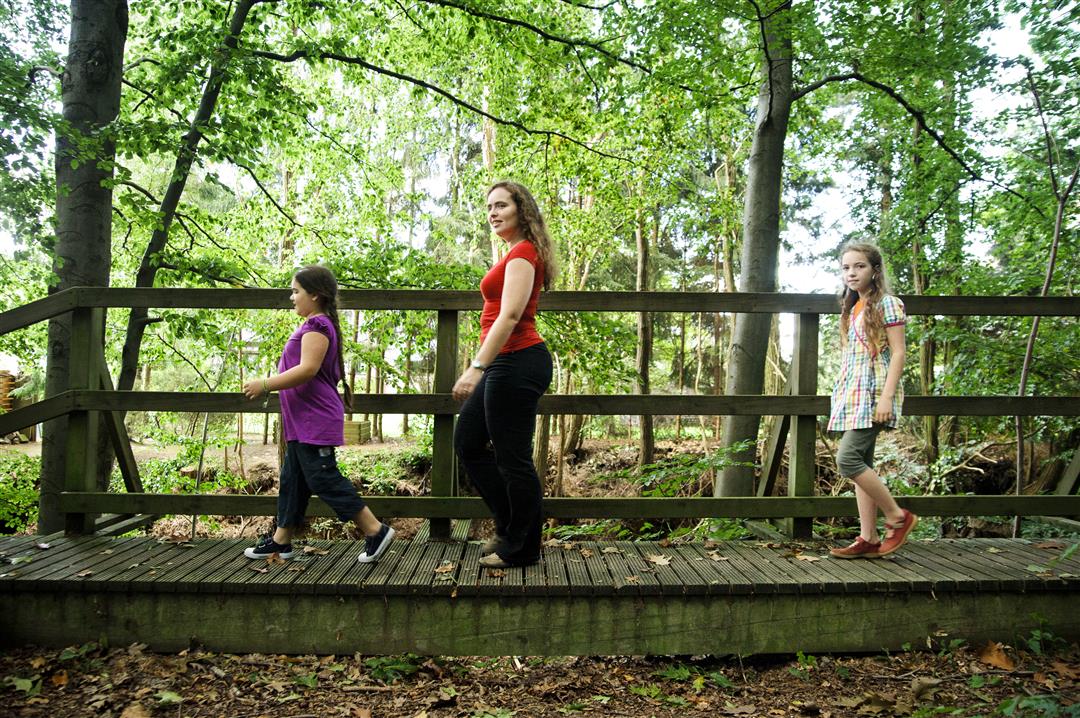
Step among the many beeches of the Linden forest and leave the forest along the Kortrijkstraat, a deep hollow road with a wooden walkway on its steep wall. Enjoy the high Hageland ridges with their endless vistas and re-breathe in the Chartreuzenbos.
This hike is offered by Tourism Flemish Brabant.
automatic translation
 nodes to follow
0 km
0.3 km
0.8 km
1.3 km
1.5 km
2.7 km
4.9 km
5.2 km
5.7 km
7.1 km
7.5 km
7.8 km


 Upgrade to Premium Plus
