Loading...

Herman's Hill Walk - Red

automatic translation

12.9 km • Bekkevoort

Icon official route official route

12.9 km 0.0 km 0.0 km

route offered by

Badge of official route

Icon starting point Addresse starting point (approximate)

Onze-Lieve-Vrouwekerk, Dorpsstraat, 3460 Assent (Bekkevoort)

Icon type signage of route signage

The route is fully signposted with nodes.

5m 5m 5m 5m
© Toerisme Vlaams-Brabant

Icon description route Description

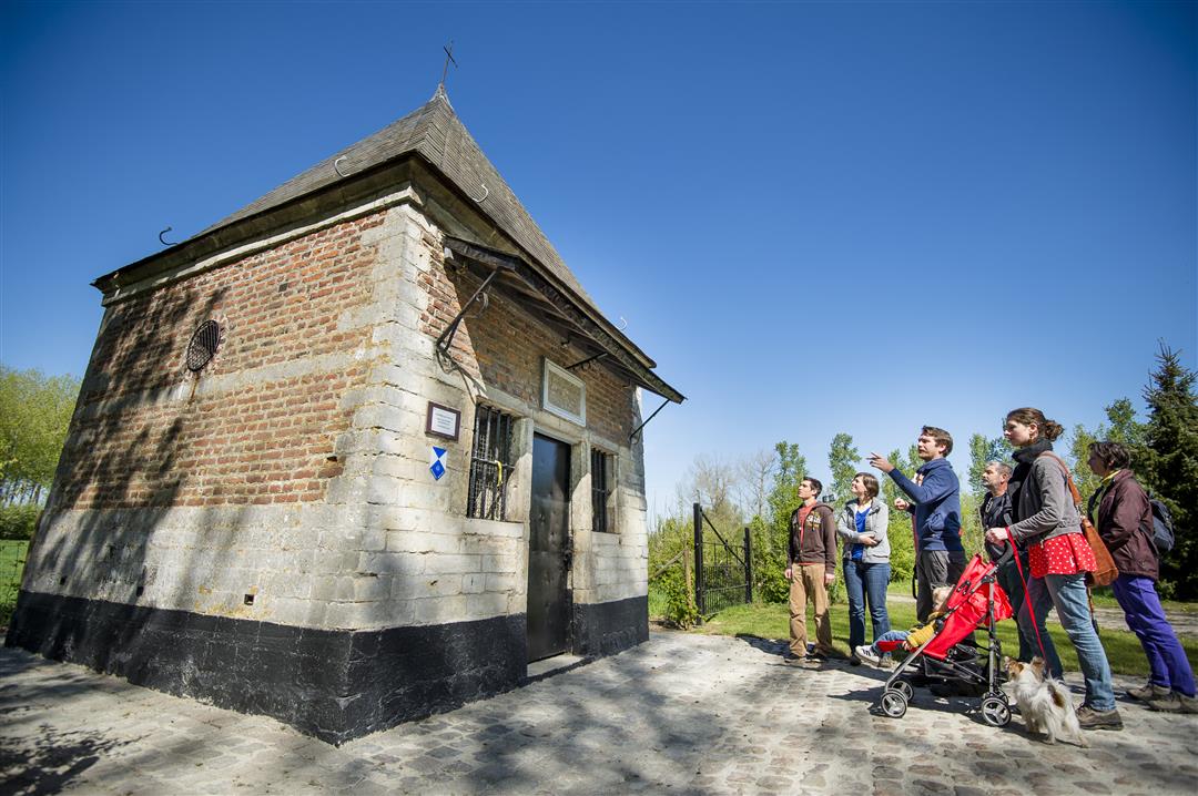
Bekkevoort, and thus also the borough of Assent, is traditionally an agricultural community, which you will certainly notice along this hiking trail. The agricultural crops and many orchards are interspersed with beautiful pieces of nature such as the hollow roads in the Begijnenbeek valley. The rolling landscape guarantees you a variation of beautiful views and shady valleys during your hike.

The hike is signposted in two directions with a red triangle.

This walk is offered by Tourism Flemish Brabant

automatic translation

Icon nodes to follow nodes to follow

Image node SP
0 km
Image node 308
0.2 km
Image node 328
1.1 km
Image node 309
1.6 km
Image node 310
2.1 km
Image node 302
3.1 km
Image node 303
3.5 km
Image node 301
4.4 km
Image node 35
5.1 km
Image node 36
6 km
Image node 37
6.2 km
Image node 32
7.2 km
Image node 38
7.7 km
Image node 31
8 km
Image node 3
8.8 km
Image node 30
9.5 km
Image node 34
11.3 km
Image node 307
12.1 km
Image node 308
12.6 km
Image node 308
12.7 km
Image node SP
12.8 km
This route has 1 review(s).
Rate route!

Saturday, November 12, 2022 by A.W.Beautiful hike with lots of fields, hollow roads and surprising views. What I personally like is that the slopes are not too steep, so more of a longer climb than gut biter.
automatic translation

Which POI do you want to show on the map?

Experimental hiking network
Unsigned icon

The route you have chosen runs (partly) along an experimental virtual hiking node network (the blue-coloured nodes and sections on the map).

You must be logged in to plan routes here.

Experimental hiking network
Unsigned icon

The route you have chosen runs (partly) along an experimental virtual hiking node network (the blue-coloured nodes and sections on the map).

These routes are not controlled in the field. Before you start hiking here, take a minute to read what an experimental hiking node network is and what rules you should follow when hiking here.