 Hiking
 Login
Login
 More
More
 EN
EN
 Premium
Dikke van Pamelwandeling
8.2 km • Roosdaal
 official route
6.07813 6 3.8/5
route offered by
 Addresse starting point (approximate)
Parking 't Sportvlot, Brusselstraat 29, 1760 Pamel
 signage
The route is signposted with thematic signs (no nodes). You can use a GPS device or our app to follow the route through the virtual nodes.
 Description
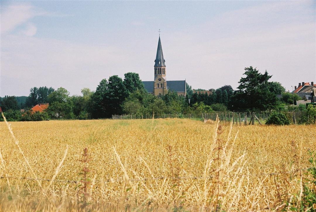
The Fat Man of Pamel? That’s a cheerful statue on the banks of the Dender River in the village of Pamel. The “Fat Man” really existed—he was a man named Victor De Klerck who lived in the 19th century and reportedly weighed as much as 300 kilos. This lovely walk also takes you past a few wartime bunkers, St. Gaucerius Church, the De Turfput nature reserve, and the farmstead and former brewery Hof de Kam.
automatic translation
 nodes to follow
0 km
0.4 km
1.4 km
1.9 km
2.6 km
3 km
4.1 km
4.7 km
4.9 km
5 km
5.1 km
5.8 km
6.4 km
6.9 km
7.2 km
7.6 km
7.8 km
8.1 km
Thursday, March 12, 2026 by Darline CousaertVery beautiful, varied walk with a few bunkers. Very beautiful landscape.
automatic translation
Sunday, June 15, 2025 by A.R.nice walk, well signposted.
automatic translation
Thursday, March 27, 2025 by J.H.Very nice, varied walk; Beautiful views, the bunker meadow and the statue of Victor. However, a sign did disappear in the stretch after the bunker meadow. Definitely recommended.
automatic translation
Sunday, July 25, 2021 by Freddy Leclercqnice walk, although I live in the neighborhood I still discovered a few roads unknown to me.
automatic translation
Monday, May 24, 2021 by K.V.Nice walk and fun with the bunkers.
automatic translation
Thursday, December 31, 2020 by D.D.Good signage. Especially the extension of the route leading between the bunkers provides not only views of the bunkers but also beautiful vistas. Very varied walk.
automatic translation


 Upgrade to Premium Plus
