 Hiking
 Login
Login More
More EN
EN Premium
The Muscle Walk - Red
automatic translation
10.6 km • Lubbeek
 official route
route offered by
 Addresse starting point (approximate)
Sint-Martinuskerk, Dorpskring, 3210 Lubbeek
 signage
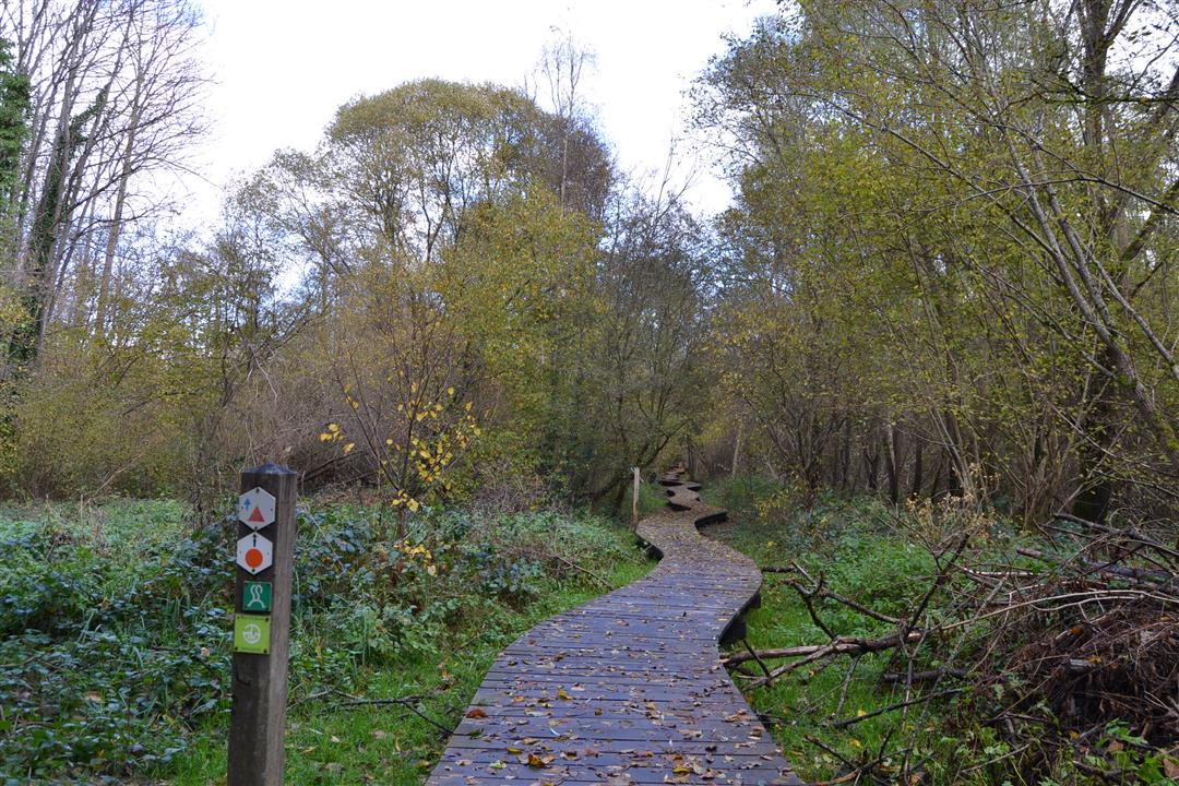
The route is partially signposted with nodes. Use a GPS device or our app to follow the route through virtual nodes.
 Description
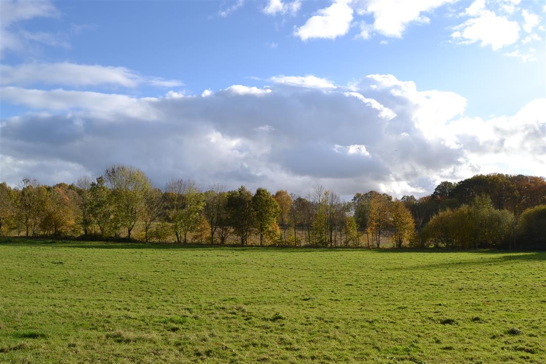
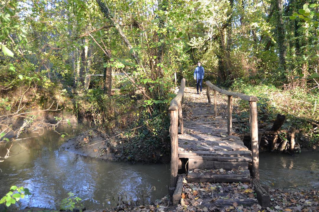
This hike starts at Lubbeek's St. Martin's Church and passes through reed beds with open water features and humps of feathery sedge that attract many insects and birds. Discover how the springs in the Molenbroek purify the water of the Molenbeek. The hike takes you past Gemp Castle Park and Gellenberg Castle Park and leads you through some ancient hollow roads.
NOTE: This is a hike on a virtual hiking network. The nodes are not signposted in the field. Follow the geometric figure, a red triangle (signposted in both directions).
This hike is offered by Tourism Flemish Brabant.
automatic translation
 nodes to follow
0 km
0.2 km
1.2 km
2.7 km
3.1 km
3.5 km
4.4 km
4.4 km
5.2 km
6 km
6.1 km
6.1 km
7 km
8.4 km
9.3 km
10.3 km
10.5 km
Sunday, August 15, 2021 by T.G.Very beautiful walk. Lots of silence, forest, open fields. A good part of the paths is paved, but is still between the fields and it is still very quiet. On Sunday with beautiful hiking weather we hardly saw any cyclists. I would skip the last loop where you cross the state highway, a bit too much residential area instead of nature.
automatic translation
Monday, May 3, 2021 by Jos Van de weyerWonderful hike. Did orange walk first, then red walk. Total 14.3 km. Well signposted . Highly recommended.
automatic translation
Sunday, March 28, 2021 by Gerrit Van den BreedeNice, varied route along fields, through the woods and clean asphalt lanes. My app counter showed 10 km instead of 13. I didn't see any signposts for this hike. But I did see a lot of other arrows for other hikes. Fortunately, I had print-outs of the route and the Maps app on hand as a "plan B.
automatic translation


 Upgrade to Premium Plus
