
 Hiking
 Login
Login
 More
More
 EN
EN
 Premium
De Spichtwandeling - Red
10.5 km • Lubbeek
 official route
4.9477 3 4.3/5
route offered by

 Addresse starting point (approximate)
Sint-Martinuskerk, Dorpskring, 3210 Lubbeek
 signage
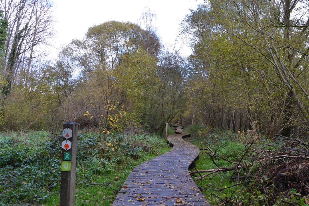
The route is signposted with thematic signs (no nodes). You can use a GPS device or our app to follow the route through the virtual nodes.
 Description
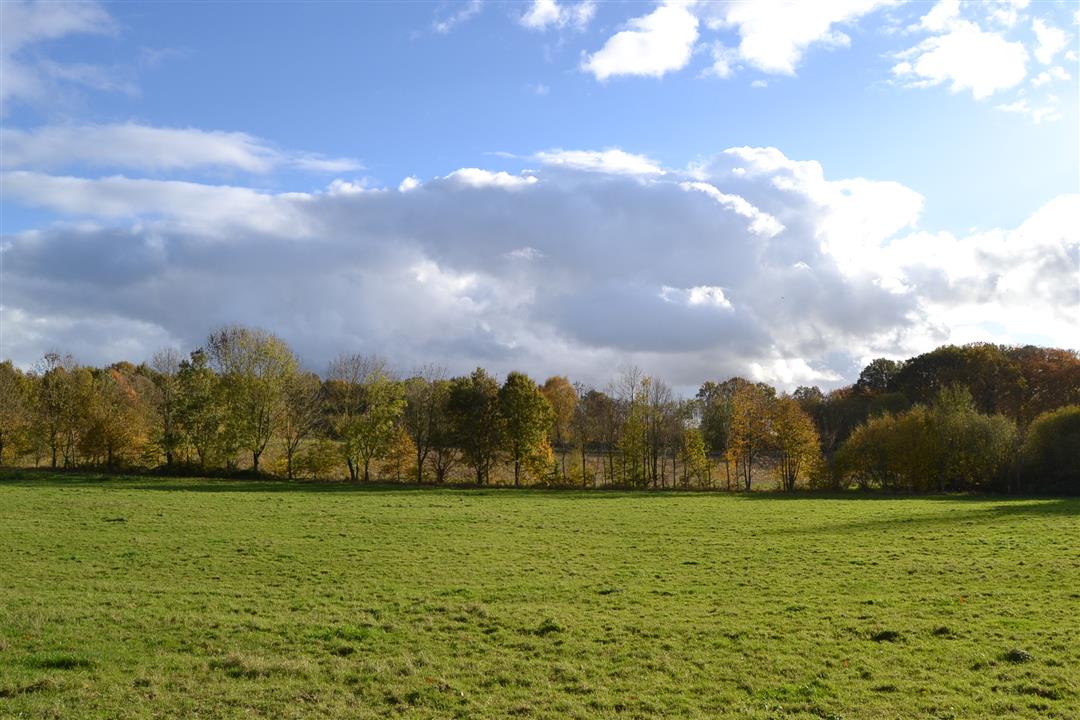
This walk introduces you to the noble beauty of De Spicht, through a reed bed with open stretches of water and clumps of bulrushes. Here, the springs of the Molenbroek feed the pure waters of the Molenbeek, and ancient sunken roads add a touch of mystery. But it is above all the Gellenberg and Van Gemp castle parks that lend the area its noble charm.
Before you set out: This is a walk on a virtual walking network. The junctions are not marked on the ground. Follow the geometric symbol, a red triangle (marked in both directions).
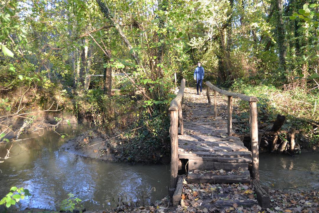
Please note: The small bridge over the Kraaiwinkelbeek between junctions 238 and 549 is in very poor condition and therefore dangerous! No specific plans for repairs have been made yet.
automatic translation
 nodes to follow
0 km
0.2 km
1.2 km
2.7 km
3.1 km
3.5 km
4.4 km
4.4 km
5.2 km
6 km
6.1 km
6.1 km
7 km
8.4 km
9.3 km
10.3 km
10.5 km
Sunday, August 15, 2021 by T.G.Very beautiful walk. Lots of silence, forest, open fields. A good part of the paths is paved, but is still between the fields and it is still very quiet. On Sunday with beautiful hiking weather we hardly saw any cyclists. I would skip the last loop where you cross the state highway, a bit too much residential area instead of nature.
automatic translation
Monday, May 3, 2021 by Jos Van de weyerWonderful hike. Did orange walk first, then red walk. Total 14.3 km. Well signposted . Highly recommended.
automatic translation
Sunday, March 28, 2021 by Gerrit Van den BreedeNice, varied route along fields, through the woods and clean asphalt lanes. My app counter showed 10 km instead of 13. I didn't see any signposts for this hike. But I did see a lot of other arrows for other hikes. Fortunately, I had print-outs of the route and the Maps app on hand as a "plan B.
automatic translation



 Upgrade to Premium Plus


