 Hiking
 Login
Login More
More EN
EN Premium
Lovely Hoeleden Walk
automatic translation
3.5 km • Kortenaken
 official route
route offered by
 Addresse starting point (approximate)
Sint-Amandskerk, Kerkplein 1, 3471 Hoeleden (Kortenaken)
 signage
The route is fully signposted with nodes.
 Description
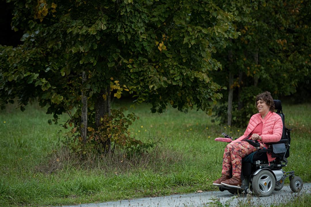
Let the Heerlijk Hoeleden route lead you from the Sint-Amandskerk between the farmlands to the valley of the Grote Gete and along the way you will encounter imposing square farmhouses with a rich history. You will also pass by extensive agricultural plots and fruit plantations and look out over vast meadows edged with poplars in the valley of the Grote Gete.
NOTE: This is a walk on a virtual walking network. The nodes are not signposted on the property. Follow the 6-sided red and white signs with the name of the hike.
This hike is offered by Tourism Flemish Brabant
automatic translation
 nodes to follow
0 km
0.1 km
0.2 km
0.5 km
0.7 km
1.7 km
2.1 km
3 km
3.3 km
3.4 km
3.5 km


 Upgrade to Premium Plus
