 Hiking
 Login
Login
 More
More
 EN
EN
 Premium
The Stone Path
automatic translation
3.5 km • Zemst
1.3362 1 3.5/5
3.5 km
0.0 km
0.0 km
route offered by
Toerisme Zemst
 Addresse starting point (approximate)
Steendreef 15, 1982 Elewijt
 signage
The route is not signposted. Use a GPS device or our app to follow the route.
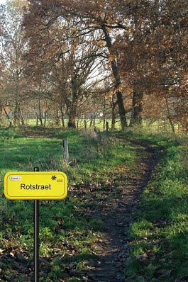
© VVV Toerisme Zemst
 Description
This beautiful tragenwegenlus passes the Rubens Castle in Elewijt, consists of 49% slow roads of which 3.5 km are in nature.
automatic translation
Monday, July 12, 2021 by L.D.Nice walk, except for the path also used by Mountain bikers (green proofing Bloso) across Steendreef as you cross Rubens Avenue. Was a lot of sludge and deep puddles, our dogs Labradors up to their elbows in the sludge. Turned back and took the Steenvaartdreef.
automatic translation


 Upgrade to Premium Plus
