
 Hiking
 Login
Login
 More
More
 EN
EN
 Premium
Mollekensbergwandeling
9.6 km • Herent
 official route
8.01714 4 3.9/5
route offered by

 Addresse starting point (approximate)
Kouterstraat 1, 3020 Herent
 signage
The route is signposted with thematic signs (no nodes). You can use a GPS device or our app to follow the route through the virtual nodes.
 Description
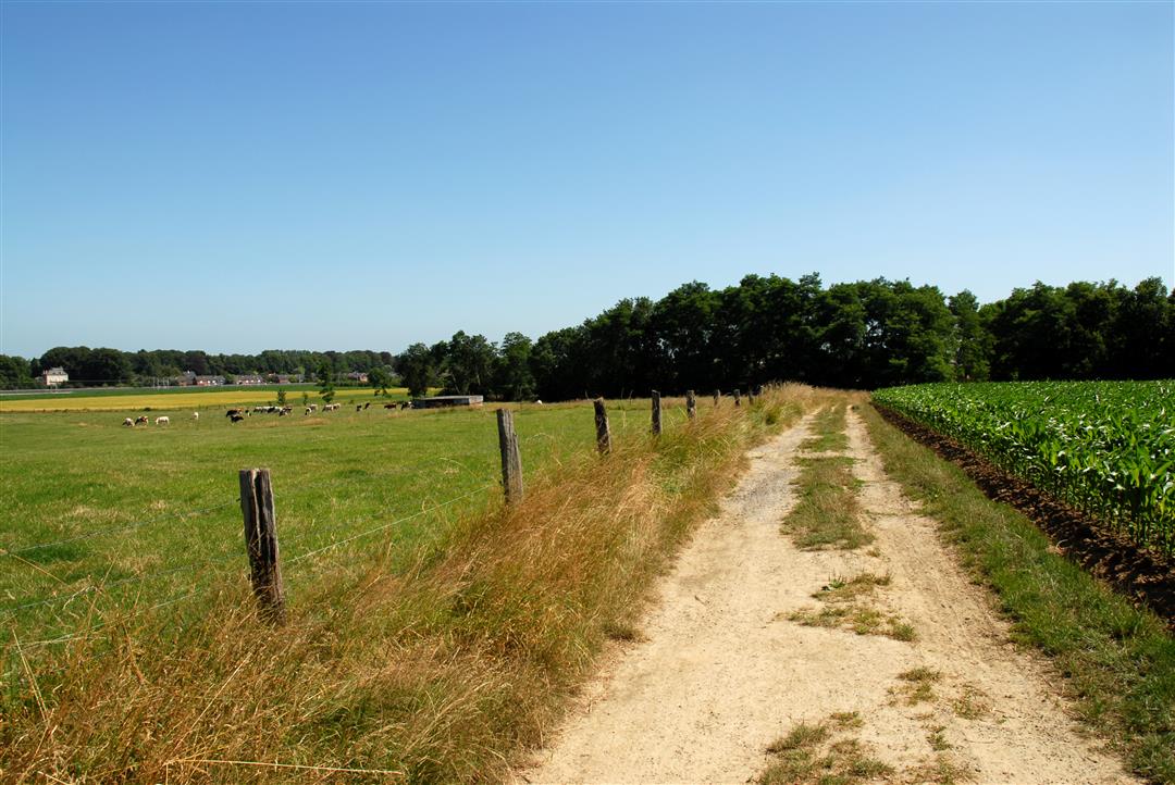
The Mollekensberg is a nature and park area in Herent featuring woods, fields, meadows, and hayfields. From the very top, you’ll enjoy a stunning panoramic view of Leuven. You’ll walk along beautiful sunken paths and across the old Roman military road between Leuven and Vilvoorde. Be sure to visit the Romanesque Church of the Assumption in Winksele, a true place of pilgrimage from the 13th to the 19th century.
Before you set out: This is a walk on a virtual hiking network. The junctions are not marked on the ground. Follow the hexagonal red-and-white signs bearing the name of the walk.
automatic translation
 nodes to follow
0 km
0.1 km
1.4 km
1.7 km
2.4 km
2.5 km
4.9 km
5 km
7.3 km
8.2 km
9.4 km
9.6 km
Sunday, August 9, 2026 by T.S.Ideal for a hot day because of the shady, sunken paths. Didn't come across any locked gates.
automatic translation
Thursday, July 23, 2026 by H.V.Unfortunately, there is a closed gate, so the route cannot continue all the way and ends after 6 km...
automatic translation
Thursday, May 29, 2025 by Luc MariënToo bad the numbers have disappeared though
automatic translation
Saturday, February 6, 2021 by Patrick VanderhulstNice hike, mainly on dirt roads and numerous hollow trails. with this weather only mud in a few places. At the park area there was a signpost on the ground which gives difficulties for people without a map.
automatic translation



 Upgrade to Premium Plus


