
 Hiking
 Login
Login
 More
More
 EN
EN
 Premium
Lozenhoekwandeling
5.8 km • Keerbergen
 official route
5.1937 5 3.9/5
route offered by

 Addresse starting point (approximate)
Nieuwstraat 100, 3140 Keerbergen
 signage
The route is signposted with thematic signs (no nodes). You can use a GPS device or our app to follow the route through the virtual nodes.
 Description
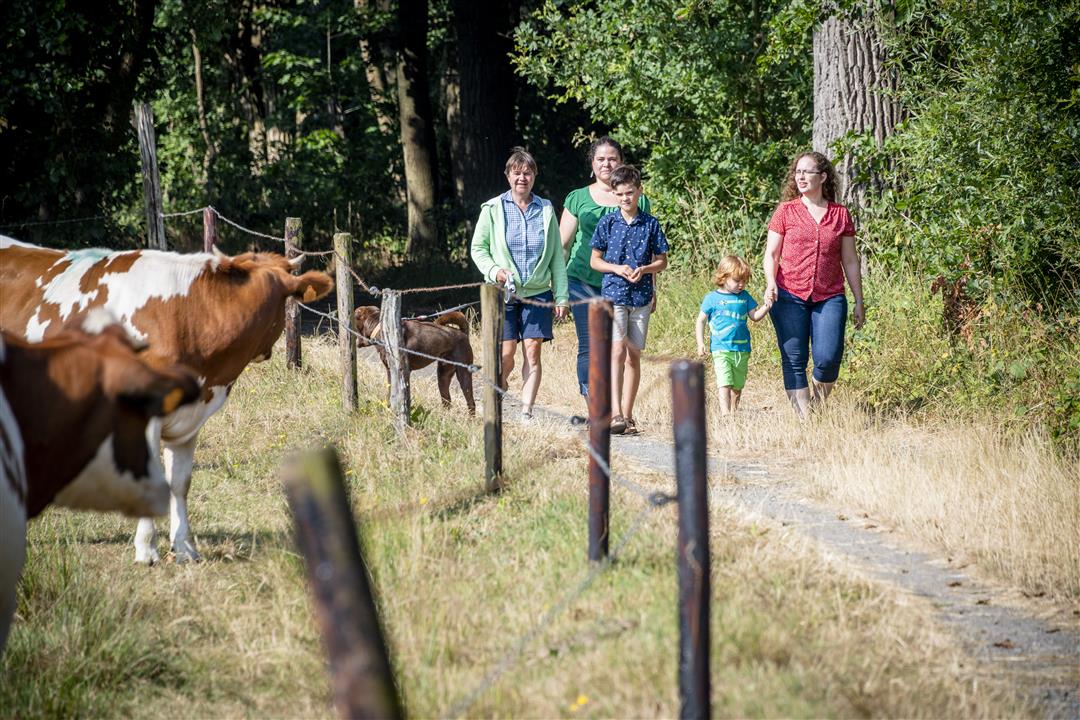
Discover the Lozenhoek neighborhood in Keerbergen. You’ll walk past rows of old trees and beautiful pollarded oaks. Watch out on Bollostraat—a white ghost dog is said to live here. At least, that’s according to the legend of the “Kruisenhond.” Take note of the street names; they are a reminder of our country’s colonial past. The route also takes you across the Kruisheide, a remnant of the vast heathland that once stretched from Bonheiden to Baal. Sheep often graze here, so be sure to keep your dog on a leash.
Before you set out: This is a walk on a virtual walking network. The junctions are not marked on the ground. Follow the hexagonal red-and-white signs bearing the name of the walk.
automatic translation
 nodes to follow
0 km
0.1 km
1.5 km
2 km
3.2 km
4 km
5.8 km
Sunday, August 16, 2026 by Magda GodtsA beautiful, peaceful, not-too-long hike. The Kruisheide is currently (Aug. 2026) closed due to fire danger (Code Red). This means you’ll have to take a detour. It wasn’t indicated anywhere in advance, but you can figure it out if you look at the map.
automatic translation
Saturday, March 28, 2026 by Elke Van KelstA nice, fairly peaceful walk.
automatic translation
Sunday, September 19, 2021 by M.M.Nice, short walk on a Sunday afternoon. Varied between houses and meadows. Definitely worth repeating. Also nice for jogging.
automatic translation
Wednesday, June 2, 2021 by E.B.Beautiful walk
automatic translation
Friday, February 26, 2021 by LOUIS DE PAEPEFebruary 25, 2021:Beautiful and healthy hike.Too bad,no bench along the way to rest and enjoy this beautiful nature.Back in Nieuwstraat the sign "Lozenhoek "was tilted.That was just asking in the neighborhood.Recommended.
automatic translation



 Upgrade to Premium Plus


