 Hiking
 Login
Login More
More EN
EN Premium
Lozenhoek Walk
automatic translation
5.8 km • Keerbergen
 official route
route offered by
 Addresse starting point (approximate)
Nieuwstraat 100, 3140 Keerbergen
 signage
The route is signposted with thematic signs (no nodes). You can use a GPS device or our app to follow the route through the virtual nodes.
 Description
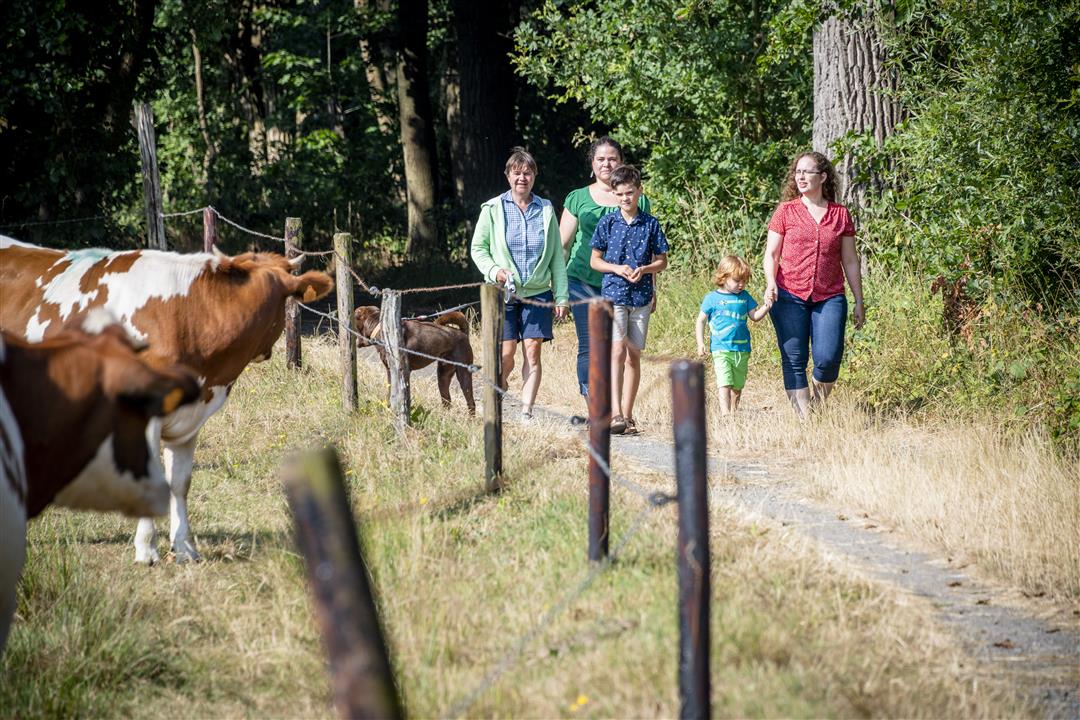
In the North-East of Keerbergen you will find the Lozenhoek walk. Walk through the landscape with its open character and numerous rows of trees. Pay attention to the street names in this area, they are reminders of our country's colonial period. Discover the legend of the Crosshound: a white ghost dog was said to have been seen in Bollostraat.
The route also takes you across the Kruisheide. This is a remnant of the large heathland area that stretched from Bonheiden to Baal. This 5-hectare nature reserve is freely accessible and consists mainly of heathland and part woodland. Be sure to keep your dog on a leash, because you can also spot sheep here. Please do not feed the sheep. The Kruisheide provides everything they need!
This walk is offered by Tourism Flemish Brabant.
automatic translation
 nodes to follow
0 km
0.1 km
1.5 km
2 km
3.2 km
4 km
5.8 km
Sunday, September 19, 2021 by M.M.Nice, short walk on a Sunday afternoon. Varied between houses and meadows. Definitely worth repeating. Also nice for jogging.
automatic translation
Wednesday, June 2, 2021 by E.B.Beautiful walk
automatic translation
Friday, February 26, 2021 by LOUIS DE PAEPEFebruary 25, 2021:Beautiful and healthy hike.Too bad,no bench along the way to rest and enjoy this beautiful nature.Back in Nieuwstraat the sign "Lozenhoek "was tilted.That was just asking in the neighborhood.Recommended.
automatic translation


 Upgrade to Premium Plus
