 Hiking
 Login
Login
 More
More
 EN
EN
 Premium
Ledebergwandeling
7.3 km • Roosdaal
 official route
3.9277 5 3.3/5
route offered by
 Addresse starting point (approximate)
Parking 't Sportvlot, Brusselstraat 29, 1760 Pamel
 signage
The route is signposted with thematic signs (no nodes). You can use a GPS device or our app to follow the route through the virtual nodes.
 Description
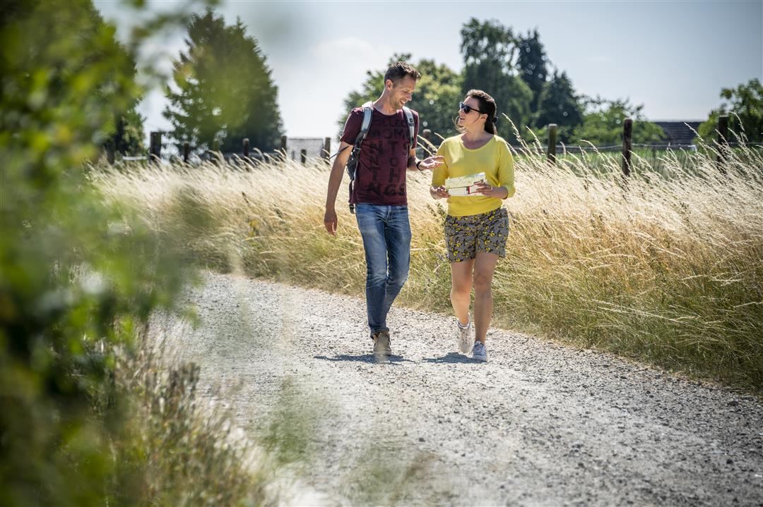
Take a walk from the village of Pamel to the hamlets of Kattem and Ledeberg through the rolling Pajot landscape. The Ledeberg Walk leads you to the highest point in Roosdaal, the Kluisberg. The castle of the Lords of Ledeberg once stood there. During this walk, be sure to visit the beautiful Chapel of Saint Apollonia, which serves as a parish church, and enjoy the stunning views along the way.
automatic translation
 nodes to follow
0 km
0.8 km
1 km
1.2 km
1.8 km
2.5 km
2.7 km
3.1 km
4.1 km
4.3 km
5 km
5 km
5.5 km
5.8 km
6.2 km
6.6 km
7 km
7.3 km
Wednesday, February 25, 2026 by Eddy Bogaertsnice walk and not too muddy
automatic translation
Sunday, September 28, 2025 by Luc VanderkelenBeautiful and quiet walk. All roads paved so can also be walked in wet weather. There are partly signposts on the hike. Attention between junctions 833 and 829 there are allotment works and the path is difficult to find.
automatic translation
Monday, May 24, 2021 by K.V.Beautiful but a little too much asphalt for me....
automatic translation
Friday, February 5, 2021 by Lieven FagotMostly on paved roads or paved trails, less than 1/3 of the hike is unpaved (boots recommended in rain). Quite a lot along built-up areas. If you take the extension (signposted) the walk becomes 8 km. Quite disappointed: in such a beautiful region one can make better walks, with more nature and less buildings.
automatic translation
Thursday, December 31, 2020 by Dominique DelplancheVery green varied hike of just under 8 km. Many unpaved paths, so mud in rainy weather but you get through. Beautiful views. Surprising center with large school in such a small village.
automatic translation


 Upgrade to Premium Plus
