 Hiking
 Login
Login
 More
More
 EN
EN
 Premium
Puyenbroeck hiking trail
automatic translation
11.8 km • Lochristi
 official route
5.6558 15 4.3/5
 Addresse starting point (approximate)
Puyenbrug 1a, 9185 Lochristi
 signage
The route is fully signposted with nodes.
 Description
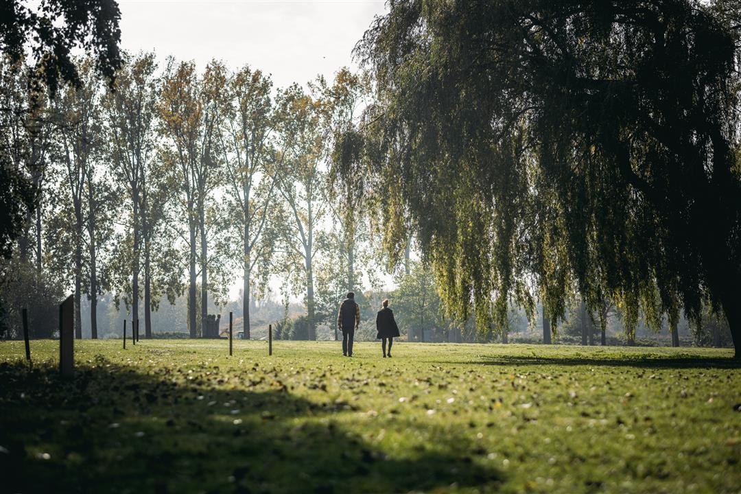
In the heart of the Moervaart valley, the Zuidlede leads us through deep green natural beauty to provincial domain Puyenbroeck, where there is enough to do for a full day's program. So get up early for this child-friendly day trip full of variety.
automatic translation
 nodes to follow
0 km
0.3 km
0.5 km
0.8 km
3.1 km
3.9 km
7.9 km
10 km
10.1 km
10.4 km
11.1 km
11.2 km
11.6 km
Sunday, January 18, 2026 by Devri Van Buyndervery nice walk
automatic translation
Friday, December 27, 2024 by Sven Van Landeghem Ample parking at the start of this trail where you can still use the sports café at the start or end. Very nice hike with the possibility to expand a bit on the domain at the end.
automatic translation
Sunday, August 11, 2024 by K.S.highly recommended, plus is good parking, varied and not difficult
automatic translation
Friday, May 21, 2021 by Chris VerborgtVery nice and varied hike. Best to park in parking lot 2. Even with this wet spring, the hike is quite doable.
automatic translation
Monday, April 26, 2021 by D.V.Started from parking lot two. Beautiful and varied walk. Only small part on a narrow bike path but the rest through forest and field. Highly recommended.
automatic translation
Sunday, January 31, 2021 by Caroline Van heuleIf you start this hike at parking 1 as indicated in this description, you have some time to walk (and especially: to search) before you get to the start of the hike. It's easier to start at parking 2. By the way, this is a very nice hike! Be sure to wear good - high - waterproof shoes. It comes in handy :-)
automatic translation
Sunday, January 3, 2021 by K.S.Very nice hike, but if you follow the address described above, it does add some km. We ended up having to get to 12 via other nodes and started the hike that way. We ended up skipping from 14 and going straight back to 6 and so to the parking lot. Was 12 km. Plenty of nature so recommended!
automatic translation
Sunday, December 13, 2020 by B.D.Most beautiful hiking trail so far! highly recommended! much unpaved, provide the right shoes!!!
automatic translation
Sunday, December 13, 2020 by H.D.Nice hike, lots of unpaved roads and beautiful nature. We started at kp.46 because it is closer to where we live and you can easily park your car.
automatic translation
Thursday, November 26, 2020 by Frank Van ackerBeautiful hike. I also started at node 2, because of the ample parking. I did extend the hike to 17 km. Nodes: 2 9 8 6 47 46 7 14 15 16 17 18 1 4 3 10 9 2
automatic translation
Friday, November 20, 2020 by I.G.Hello, to start the hike node 6, where can you park the car please ? thanks
automatic translation
Tuesday, November 10, 2020 by B.N.nice walk in the woods with water nearby and animals like squirrels (if you are lucky).
automatic translation
Monday, November 9, 2020 by Katrien PolletA beautiful walk!Only occasional bench I missed a bit.
automatic translation
Saturday, November 7, 2020 by Marc Verelstnice walk,lots of variety,the part between kp6 and kp47 is the most fun, narrow, but after a wet period boots recommended.
automatic translation
Wednesday, November 4, 2020 by De vlieger Ronnynice walking route but if you start from parking 2. come to knot points. 2-9-8 and then continue with 6 then you come to about 12km
automatic translation


 Upgrade to Premium Plus
