 Hiking
 Login
Login
 More
More
 EN
EN
 Premium
Chapel of the Cross hiking trail
automatic translation
11.3 km • Lokeren
 official route
8.40526 18 3.9/5
 Addresse starting point (approximate)
Eksaardedam 11, 9160 Eksaarde
 signage
The route is fully signposted with nodes.
 Description
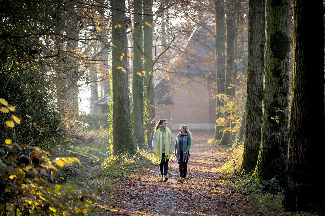
Miraculous crosses, a vanished moated castle and a hidden line of defense: mystery lurks beneath the soil of the Lokeren borough of Eksaarde. Above ground, everything is a lot more pleasant. This route along beautiful patches of greenery and a quietly rippling Moervaart testifies to that.
TheKruiskapel walking routeis offered to you byRouten, an initiative of Tourism East Flanders.
automatic translation
 nodes to follow
0 km
0.5 km
4.2 km
5 km
5.6 km
7.9 km
11.2 km
Sunday, April 19, 2026 by Lieven De PrinsA beautiful route
automatic translation
Saturday, November 8, 2025 by Filip Van ImpeVery nice walk; 9km unpaved, in nature; left at Bistro Bascuul. Nodes well indicated. Only this Saturday a lot of mountain bikers (organized activity). You can indeed avoid a large part of the cycling highway by walking on the road next to it.
automatic translation
Sunday, September 21, 2025 by David Van GoethemVery nice hike. I left in splettenstraat, there is a public parking next to the route. Between 15/3 and 15/8 you cannot go from node 41 to 36 because of breeding season.
automatic translation
Friday, December 27, 2024 by Sven Van Landeghem Nice walk. Only the end is monotonous if you follow the bike path. Better stay down to avoid crowds or accidents.
automatic translation
Friday, August 11, 2023 by Luc De wildeOne of the most beautiful routes in the flatter part of Flanders. We did follow our own variant, which we think must be the most fun: Left in the opposite direction from Bistro Bascuul (De Vosstr. 1), first to the Spletterenbrug, then along the Moervaart to the Keysershof and, as an apotheosis, back via the Liniepad. Unforgettable!
automatic translation
Sunday, June 26, 2022 by pascal de maesschalckNice varied hike with stop in middle of hike and at end in field café
automatic translation
Sunday, March 20, 2022 by Liesbeth OdaVery pleasant hike, lots of walking in nature, lots of downed trees though but had been storm a few weeks ago. Very little traffic, but part on bike highway. No problem with directions.
automatic translation
Sunday, December 26, 2021 by E.S.Beautiful nature walk through Eksaarde, sometimes very muddy paths. At junction 36 be careful to choose the left path because the right path is closed. The last 3 km run along a busy bike path but if it is too busy you can also walk down from that bike path on the towpath.
automatic translation
Saturday, June 5, 2021 by Brigitte Boeyvery nice nature walk,highly recommended you can also enjoy a terrace
automatic translation
Sunday, April 4, 2021 by G.B.Reasonably nice hike. Between March 15 and August 15 be aware of breeding season. You have to follow a small detour but return to the original path at the bridge over the Moervaart. The part along the canal is very quiet, but on the Linieweg you have to regularly jump aside for cyclists and mountain bikers.
automatic translation
Thursday, April 1, 2021 by J.H.First part very pleasant, then at junction 36 it goes wrong, that part is cordoned off, happens more often there in my experience, in the end we had to make our own plan and walked back to the starting location along a very unpleasant track with busy bike path with roaring trucks. No more of this route for us. Awful
automatic translation
Sunday, February 28, 2021 by De vlieger Ronnythis route does not start at the eksaardedam 11.otherwise very nice route outside last 3km
automatic translation
Saturday, February 27, 2021 by M.V.Very nice walk lots of variety too bad the last three kilometers are along the bike path .
automatic translation
Friday, January 29, 2021 by Y.D.beautiful hiking trail along nature, definitely recommended for the nature lover. at this time of year a sturdy hiking boot is the best option.
automatic translation
Friday, November 13, 2020 by D.V.Very nice walk in nature. Be careful between point 36 and 41 not so clear as described here. A sign there would be useful. Last piece you best do not go up the stairs to the bridge, but follow the path down parallel so you're not bothered by busy bike path.
automatic translation
Monday, November 9, 2020 by Johan YsewijnOne had better avoid the stretch between KP38 and KP39 and plan another route. That stretch runs for 3 km. on a 2.5-meter-wide two-way bike path, where it is really life-threatening. Better alternative is (possibly) KP38-KP40-KP39 (not tried it myself).
automatic translation
Sunday, November 8, 2020 by S.V.Really very nice walk!!!! Only caution when stepping to point 36. If you follow the wide road there you come out on private property. You have to take the narrower path on the left (next to fields, moat)
automatic translation
Saturday, October 31, 2020 by A.D.Very beautiful nature walk car-free trails, highly recommended for any hiker
automatic translation


 Upgrade to Premium Plus
