 Hiking
 Login
Login More
More EN
EN Premium
Valley of the Three Brooks hike - Blue
automatic translation
2.9 km • Diest
 official route
3490 0 0/5
2.9 km
0.0 km
0.0 km
route offered by
 Addresse starting point (approximate)
Sint-Engelbertuskerk, J. Sweygersstraat, 3290 Deurne
 signage
The route is fully signposted with nodes.
© Lander Loeckx
 Description
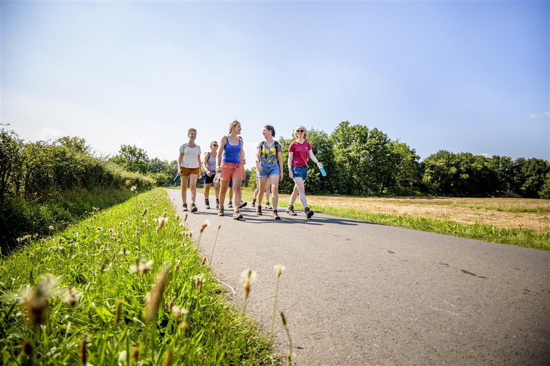
On this short walk, discover nature near the center of Deurne on the edge of the Valley of the Three Brooks.
Follow the nodes of the Wandelnetwerk de Merode or the blue diamond signage.
This walk is offered by Tourism Flemish Brabant.
automatic translation
 nodes to follow
0 km
0.3 km
1.1 km
2.1 km
3 km


 Upgrade to Premium Plus
