
 Hiking
 Login
Login
 More
More
 EN
EN
 Premium
Vallei van de Drie Bekenwandeling - Blue
3 km • Diest
 official route
2.1152 0 0/5
3 km
0.0 km
0.0 km
route offered by

 Addresse starting point (approximate)
Sint-Engelbertuskerk, J. Sweygersstraat, 3290 Deurne
 signage
The route is fully signposted with nodes.
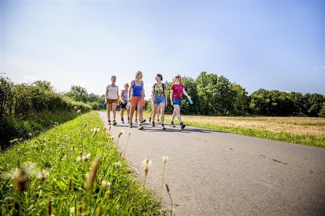
© Lander Loeckx
 Description
Three streams cut through the northernmost tip of Flemish Brabant, in Deurne near Diest: the Kleine, the Middel, and the Grote Beek. You’ll walk through a damp landscape full of rows of trees, hayfields, flower-filled thickets, marshes, ponds, woods, and heathland. Boots will definitely come in handy. You can choose between the short blue trail or the longer red one.
Before you set out: Follow the junction markers of the Wandelnetwerk de Merode or the signs with a blue diamond.
automatic translation
 nodes to follow
0 km
0.3 km
1.1 km
2.1 km
3 km



 Upgrade to Premium Plus


