
 Hiking
 Login
Login
 More
More
 EN
EN
 Premium
Vallei van de Drie Bekenwandeling - Red
8.2 km • Diest
 official route
6.62211 6 4.7/5
route offered by

 Addresse starting point (approximate)
Sint-Engelbertuskerk, J. Sweygersstraat, 3290 Deurne
 signage
The route is fully signposted with nodes.
 Description
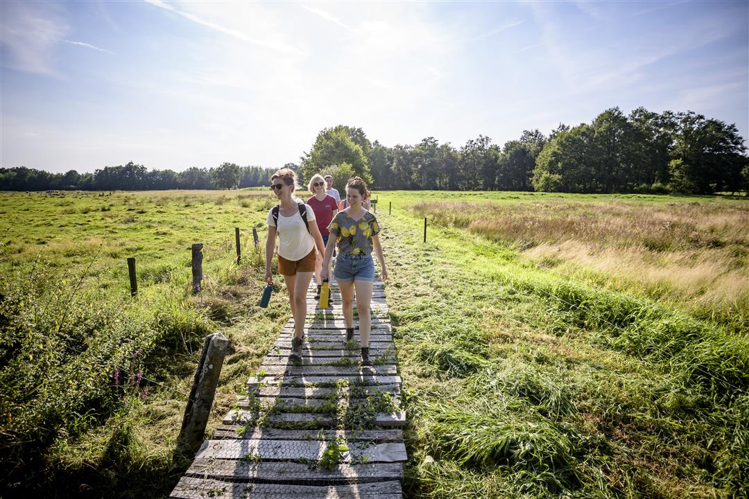
Three streams cut through the northernmost tip of Flemish Brabant, in Deurne near Diest: the Kleine, the Middel, and the Grote Beek. You’ll walk through a damp landscape full of rows of trees, hayfields, flower-filled thickets, marshes, ponds, woods, and heathland. Boots will definitely come in handy. You can choose between the short blue trail or the longer red one.
Before you set out: Follow the junction markers of the Wandelnetwerk de Merode or the signs with a red triangle.
Please note! This hike is currently interrupted due to the poor condition of the boardwalk between junctions 928 and 927. Therefore, you cannot complete the hike until the new boardwalk has been constructed (construction is scheduled for summer 2026).
automatic translation
 nodes to follow
0 km
0.9 km
1.5 km
3.1 km
4.2 km
5.9 km
7.1 km
7.9 km
8.2 km
Friday, September 5, 2025 by Ghislain CeuppensToday this beautiful walk could still just by from node 928 wooden path in the first part is completely overgrown with reeds was a nice experience to the next part they were the path to renew so think the next few weeks it will no longer be accessible but if the works will be finished it is worth it
automatic translation
Saturday, March 20, 2021 by J.D.The first bit (1km) is along low-traffic roads, but after that every km is enjoyed. Alternation between meadow and forest and lots of swamp. A few sections are a bit tricky if it has rained but most of it is doable with sturdy footwear. We will be back!
automatic translation
Thursday, November 26, 2020 by D.B.Beautiful hike in full nature, worth repeating !
automatic translation
Saturday, November 14, 2020 by Luc WullaertIt starts with a stretch of paved road, but from the Valley of the Three Streams nature preserve it really becomes enjoyable...... Beautiful hike with lots of variety, both wet parts, field, meadow and forest. Definitely worth repeating.
automatic translation
Sunday, November 8, 2020 by A.S.Very beautiful hike. We were lucky with the beautiful fall colors. Other than the start and a little bit along the way, it's all dirt roads.
automatic translation
Wednesday, November 4, 2020 by Petra VanrompayVery nice walk, varied, with many wooden paths. Pieces of forest, bridges over streams. First km is a bit disappointing but the rest more than makes up for it. Mainly unpaved and indeed waterproof shoes needed in wet weather.
automatic translation



 Upgrade to Premium Plus


