 Hiking
 Login
Login
 More
More
 EN
EN
 Premium
Asdonkwandeling - Blue
4.3 km • Tessenderlo
 official route
3.6878 4 4.5/5
route offered by
 Addresse starting point (approximate)
Kiewithoeve, Goor 12, 3980 Tessenderlo
 signage
The route is fully signposted with nodes.
 Description
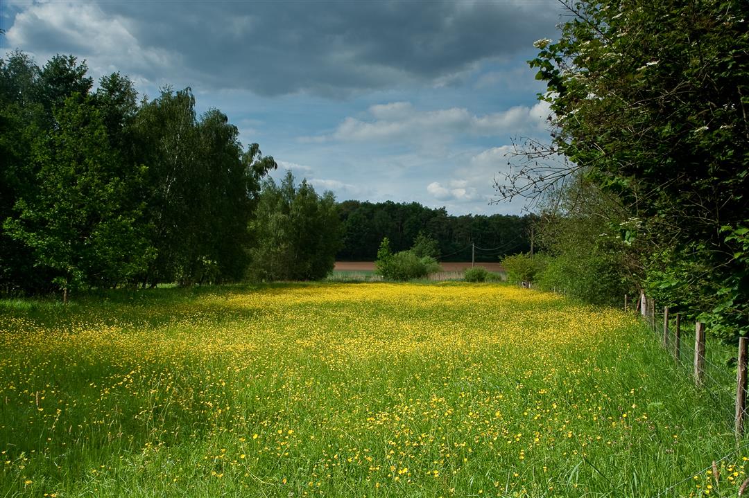
Where the Hageland and the Kempen meet, you’ll discover the Asdonk hiking area. The sandy soils give rise to a unique natural environment featuring heather, common buckthorn, and viviparous lizards. You’ll walk through the Dassenaarde nature reserve, named after the badgers that called this area home until the 1950s. The brand-new Schomme play forest is the perfect spot for a picnic halfway through your hike. Don’t be startled if you suddenly come face-to-face with a sheep. These woolly four-legged friends graze there in a fenceless pasture.
automatic translation
 nodes to follow
0 km
0.5 km
1.1 km
1.5 km
2 km
2 km
2.6 km
3 km
3.4 km
3.7 km
4.2 km
Tuesday, February 25, 2025 by K.M.+ Parking (10 places)
+ Stroll through woods and fields
+ Flat and well walkable
treatable
+ Dog approves of this walk ;-)
+ Drink / snack possible in the Kiewithoeve
- Rather large puddles, muddy due to recent rainfall (Feb. 2025) and passage of agricultural vehicles. So please put on suitable shoes.
- Not wheelchair accessible
automatic translation
Sunday, January 12, 2025 by A.R.Nice round-trip hike.
automatic translation
Thursday, December 3, 2020 by J.D.Fun and easy hiking trail.
automatic translation
Sunday, November 29, 2020 by S.M.Beautiful hike with clean trails. Buggyproof!
automatic translation


 Upgrade to Premium Plus
