
 Hiking
 Login
Login
 More
More
 EN
EN
 Premium
Demerbroekenwandeling - Blue
3.4 km • Scherpenheuvel-Zichem
 official route
3.4515 0 0/5
3.4 km
0.0 km
0.0 km
route offered by

 Addresse starting point (approximate)
Watermolen van Testelt, Dorp 34, 3271 Testelt (Scherpenheuvel-Zichem)
 signage
The route is fully signposted with nodes.
© Toerisme Vlaams-Brabant
 Description
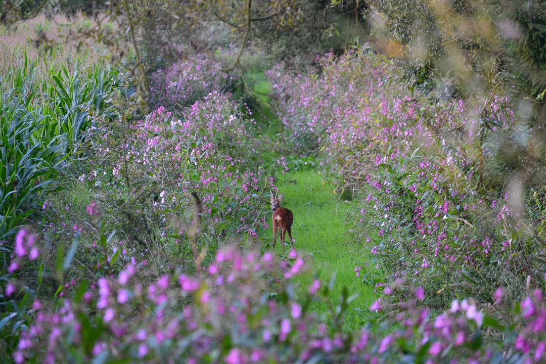
From the heart of charming Testelt, you’ll climb the Voortberg. This hill in the Diest region, formed from rugged iron sandstone, exudes both history and nature. As you climb higher, a beautiful landscape unfolds—and once at the top, you’ll be rewarded with a breathtaking panorama of the vast Demerbroeken.
Before you set out: Follow the junction markers of the Wandelnetwerk de Merode hiking network or the signs with a blue diamond.
automatic translation



 Upgrade to Premium Plus


