 Hiking
 Login
Login More
More EN
EN Premium
Demer shorts walk - Blue
automatic translation
3.6 km • Scherpenheuvel-Zichem
 official route
7060 0 0/5
3.6 km
0.0 km
0.0 km
route offered by
 Addresse starting point (approximate)
Watermolen van Testelt, Dorp 34, 3271 Testelt (Scherpenheuvel-Zichem)
 signage
The route is fully signposted with nodes.
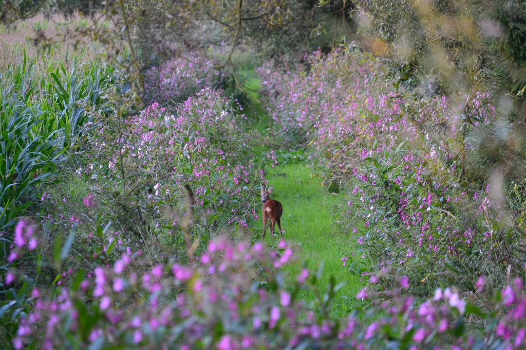
© Toerisme Vlaams-Brabant
 Description
The Demerbroeken form a vast chunk of nature in the wide valley of the Demer, between Testelt, Zichem, Averbode and Diest. If you follow the blue route, you climb the Voortberg to enjoy a magnificent panorama.
Follow the junctions of the Wandelnetwerk de Merode or the blue diamond signposting.
This walk is offered by Tourism Flemish Brabant.
automatic translation
 nodes to follow
0 km
0.1 km
1 km
1.3 km
3.4 km
3.6 km


 Upgrade to Premium Plus
