 Hiking
 Login
Login More
More EN
EN Premium
Demerbroeken walk - Orange
automatic translation
6.1 km • Scherpenheuvel-Zichem
 official route
1.4300 2 4.5/5
route offered by
 Addresse starting point (approximate)
Station Zichem, Ernest Claesstraat zn, 3271 Zichem
 signage
The route is fully signposted with nodes.
 Description
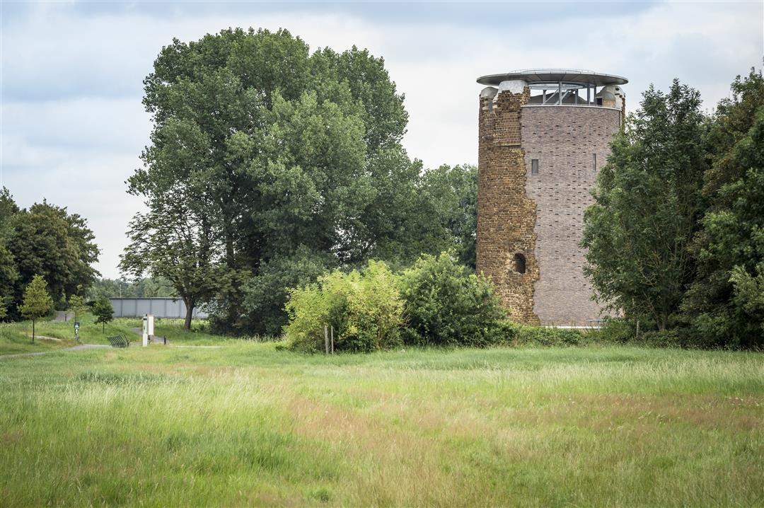
The Demerbroeken are a vast chunk of nature in the wide valley of the Demer, between Testelt, Zichem, Averbode and Diest. If you follow the orange route, you also get a piece of culture in the process. Among other things, you can admire the Maagdentoren (Tower of Virgins) on your way and behind the Hemmekes meeting center you can board an authentic, handmade flatboat from the 19th century.
Follow the junctions of the Wandelnetwerk de Merode or the signposts with the orange circle.
This walk is offered by Tourism Flemish Brabant.
automatic translation
 nodes to follow
0 km
0.2 km
0.5 km
0.5 km
1.4 km
1.9 km
2.1 km
2.5 km
3.2 km
3.7 km
4.3 km
5.4 km
6 km
6.3 km
Saturday, December 24, 2022 by Karin van de VenAfter so many days of rain, this hike is just fine. Alternately you walk through the meadows and through the village. Personally, I do not like a long stretch of road and those are several present but the environment does not bore.
automatic translation
Thursday, March 10, 2022 by Peter VerbeekVery nice walk, views of Averbode Abbey, Scherpenheuvel Basilica and army zeppelin in Schaffen. Paved roads are very quiet.
automatic translation


 Upgrade to Premium Plus
