 Hiking
 Login
Login
 More
More
 EN
EN
 Premium
Kieldrecht Creek hiking trail
automatic translation
11.9 km • Beveren
 official route
4.5268 5 2.9/5
 Addresse starting point (approximate)
Kerk, 9130 Kieldrecht
 signage
The route is fully signposted with nodes.
 Description
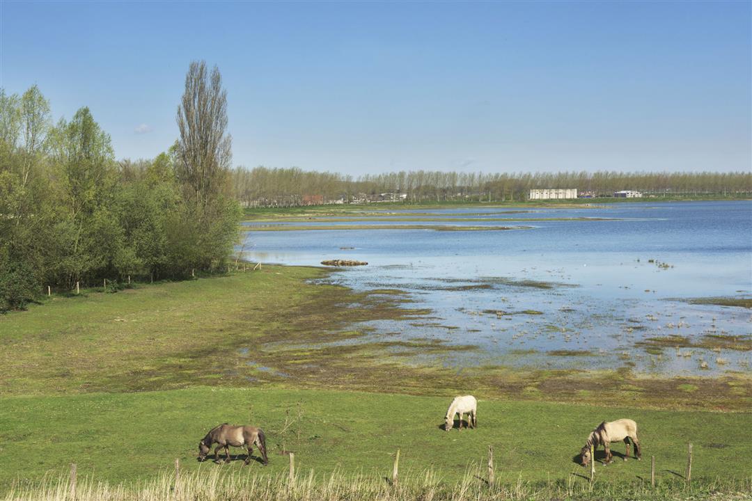
Walk past polders, beautiful natural areas and enjoy the contrasting landscapes on this hiking trail around Kieldrecht Creek.
TheKieldrechtse Kreek walking routeis offered to you byRouten, an initiative of Tourism East Flanders.
automatic translation
 nodes to follow
0 km
1.7 km
3.1 km
3.5 km
4.4 km
4.5 km
5 km
5.3 km
6.5 km
6.9 km
7.5 km
8.7 km
9.8 km
10.9 km
11.3 km
11.8 km
Saturday, September 20, 2025 by Marjolein VinckMaybe it was because of the rain, but I found this hike lacking in variety and not very engaging. Lots of long, boring strips of concrete, and too little nature for me. There are better ones!
automatic translation
Saturday, August 28, 2021 by Danny HoskensIndeed a nice walk, but the No. 30 also sought and not found. Too bad this is not clear. Also (as already mentioned here) did a part in reverse order (with Google Maps another piece stuck on) and ended up doing 17 km instead of 12.1 km. From node 30 should take a look.
automatic translation
Saturday, March 6, 2021 by Christine Van den bosscheIt is a very nice hike, if there is a lot of wind it will be cold because there are many open plains. At the end we walked the wrong way. At the end of the Koningsdijk you have to turn left somewhere for nr 30,not found so we did part of the hike back in reverse. We will definitely do them again
automatic translation
Saturday, November 21, 2020 by André FeyaertsWe hiked this trail the 2nd weekend of November 2020. The beginning was promising because of the walk between the creeks, but pretty soon you end up in agricultural land. Open plains, alternating unpaved and concrete surfaces, but mostly (kilometers) long straight strips without any variety.
automatic translation
Saturday, November 7, 2020 by K.M.Beautiful hiking trail! 👍 From the moment you cross the Kieldrecht road, no more benches (+ trash can) encountered.
automatic translation


 Upgrade to Premium Plus
