
 Hiking
 Login
Login
 More
More
 EN
EN
 Premium
Oranjewandeling
5.1 km • Diest
 official route
4.4008 1 3.5/5
5.1 km
0.0 km
0.0 km
route offered by

 Addresse starting point (approximate)
Grote Markt, 3290 Diest
 signage
The route is fully signposted with thematic signs (no nodes).
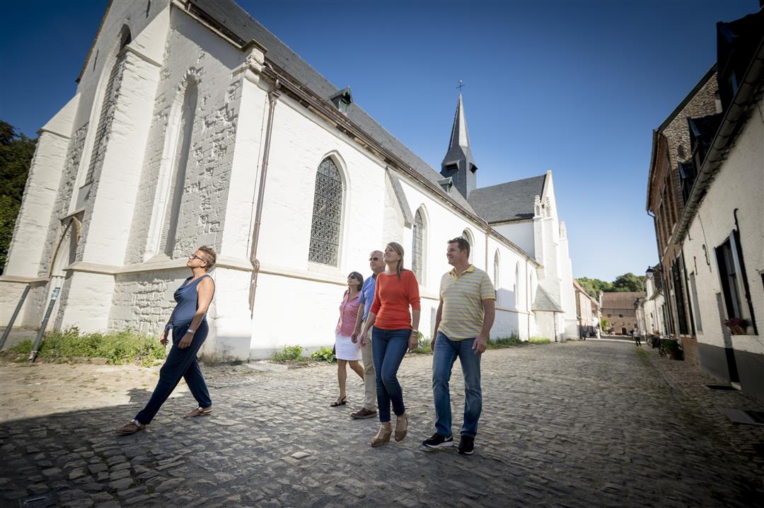
© Lander Loeckx
 Description
Your tour of Oranjestad Diest begins at the Gothic St. Sulpitius Church on the Grote Markt, where Philip William of Orange is buried. Climb the steps to the Citadel for a view of the city and a glimpse into its military history. Take a moment to disappear into the greenery of the Citadel Forest, then head back into the city to discover even more historic buildings and hidden corners, such as the Refugiehuis, the Warandepark, and, of course, the enchanting beguinage.
automatic translation



 Upgrade to Premium Plus


