
 Hiking
 Login
Login
 More
More
 EN
EN
 Premium
Webbekoms Brook Walk - Orange
4.7 km • Diest
 official route
4.0914 3 3.7/5
route offered by

 Addresse starting point (approximate)
Bezoekerscentrum Webbekoms Broek, Omer Vanaudenhovenlaan 48, 3290 Diest
 signage
The route is fully signposted with nodes.
 Description
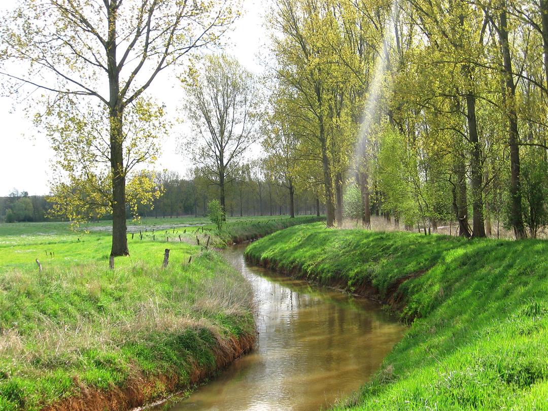
This walking loop takes you through the Webbekoms Broek, a natural floodplain for the Demer and Velpe rivers. You’ll walk through a patchwork of flower-filled hay meadows, reed beds, and willow groves where endangered species such as the red-backed shrike find a home. Along the way, climb up to two observation decks where you can enjoy the beautiful Demer landscape.
Before you set out: Follow the junction markers of the Wandelnetwerk de Merode hiking network or the signs with an orange circle.
automatic translation
 nodes to follow
0 km
0.5 km
0.8 km
2.1 km
3.4 km
4.7 km
Sunday, November 24, 2024 by J.P.Beautiful (sometimes wet) route through the quiet Webbekomse broek with nice dog pasture at the beginning of the walk.
automatic translation
Sunday, December 6, 2020 by J.D.Very beautiful area, but this hike is poorly marked. At several intersections there was no junction marking.
automatic translation
Thursday, October 22, 2020 by Victor SwittenHike done on Sunday, 11.10.2020. Unpredictably beautiful hike, definitely worth repeating
automatic translation



 Upgrade to Premium Plus


