 Hiking
 Login
Login More
More EN
EN Premium
Webbekoms Brook Walk - Green
automatic translation
3.3 km • Diest
 official route
2000 0 0/5
3.3 km
0.0 km
0.0 km
route offered by
 Addresse starting point (approximate)
Bezoekerscentrum Webbekoms Broek, Omer Vanaudenhovenlaan 48, 3290 Diest
 signage
The route is fully signposted with nodes.
© Lander Loeckx
 Description
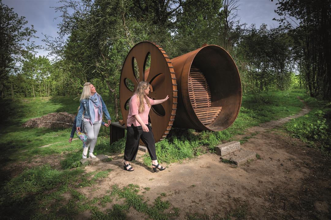
Walk along the historic defensive ramparts of the city of Diest and discover the Demertrefplaats where you can enjoy the beautiful Demer landscape from the sitting cannons. In nature reserve Webbekoms Broek you step past flowery hay fields, reed beds and willow groves.
Follow the junctions of the Wandelnetwerk de Merode or the signposts with the green rectangle.
This walk is offered by Tourism Flemish Brabant.
automatic translation
 nodes to follow
0 km
0.5 km
0.7 km
1.9 km
2 km
3.3 km


 Upgrade to Premium Plus
