 Hiking
 Login
Login
 More
More
 EN
EN
 Premium
Clay bread hiking trail
automatic translation
10.2 km • Boom
5.5766 12 4.2/5
route offered by
Toerisme Provincie Antwerpen
 Addresse starting point (approximate)
Schommelei 1, 2850 Boom
 signage
The route is fully signposted with nodes.
 Description
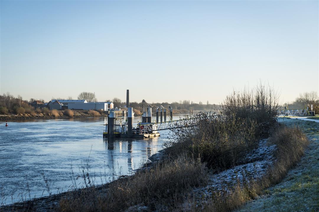
The municipality of Boom is centrally located in the Rupel region, an area that
distinguishes itself from all other regions in
Flanders. Large parts of the Rupel region were
clay mining areas, where most people made their "living
earned their 'bread' in and with the clay.
A clay loaf is also a limestone found in the clay layers.
found. This hiking trail, which visits the four beautiful green lungs
of Boom, was originally developed by ATB de
Natuurvrienden, WSV Schorrestappers and Natuurpunt and was then given the
appropriate name "the four areas trail."
The hike aims to show urbanized Boom in a green light.
It is filled with interesting facts about fauna and flora and about
local initiatives on sustainable living.
automatic translation
 nodes to follow
0 km
0.6 km
1.3 km
1.3 km
1.5 km
2.5 km
3.4 km
4 km
4.7 km
5 km
5.9 km
6.3 km
6.8 km
6.9 km
7 km
7.5 km
8.3 km
8.9 km
8.9 km
9.5 km
9.9 km
10.3 km
Thursday, March 12, 2026 by Nancy BoensNice walk, beautiful green surroundings.
automatic translation
Sunday, January 18, 2026 by Tanguy Van der Gucht Nice walk
automatic translation
Sunday, December 28, 2025 by Els VerbruggenGetting to know Tree in a different way. Very varied, the Schorre, the nature, the trolls, the field hockey, the Ruppel. One to share. The signposts are correct.
automatic translation
Saturday, May 6, 2023 by W.S.very nice hike, especially the domain. too bad I didn't find anything of clue for the hiking nodes to go to 118. i then followed the signs of road detour bikes (corner actually). there it was a bit of a search but then i found a sign in the opposite direction with number 118 and was off again
automatic translation
Sunday, January 22, 2023 by Herman Van den reeckVery nice route, along quiet roads and in green surroundings. However, the indication near the starting point (at the bottom of the steps of the Schorre) is not correct. If you want to go to 102 you have to stay under the stairs and follow left. For app users : on the decking path the app does not work properly. Just keep following path.
automatic translation
Thursday, September 30, 2021 by Luc Ceulemansas some have already noted : kp118 is not accessible due to works, but when I did the hike, the detour was already marked. Beautiful hike with something for everyone.
automatic translation
Tuesday, May 11, 2021 by Michel VMNice walk in and around Prov. domain De Schorre. Everything well marked except post 118 not found....,after that everything ok.
automatic translation
Saturday, January 16, 2021 by D.B.Beautiful, varied walk. We went wrong 2x (1 post was missing due to works: number 118) but then used the app.
automatic translation
Friday, November 27, 2020 by J.D.walk with variety , I would definitely recommend them , the municipal park of Boom is a nice part . When entering the schorre in the northern part it is confusing to find the right direction , but surprising is the part along the duckboards
automatic translation
Friday, October 30, 2020 by Guido DeneyerBeautiful walk. As written in previous comment, there are indeed some points where you can hesitate or walk wrong, namely in Boom Park and 2nd part in De Schorre. I do hike here often and with the app you can find it. Highly recommended for hikers. Bravo.
automatic translation
Monday, September 21, 2020 by Jozef VleugelsIt was the first time we hiked through "de schorre" and it pleasantly surprised us. The whole route links beautiful forest walks. Some signs are a bit unclear but by downloading the route on my cell phone, we were able to do the route easily. we certainly enjoyed it thanks to the beautiful weather.
automatic translation
Sunday, September 20, 2020 by Peter Barbaix7/10 Varied walk, with interesting viewing moments. Starts and ends in the provincial domain: De Schorre in Boom, known from the mass festival Tomorrowland. This gives you sufficient parking space. Minuses: signage sometimes hard to find. In that case, the app with GPS indication is a practical added value.
automatic translation


 Upgrade to Premium Plus
