 Hiking
 Login
Login
 More
More
 EN
EN
 Premium
The Pink March: Rodeberg
automatic translation
7.4 km • Heuvelland
 official route
12.4389 4 4.1/5
route offered by
 Addresse starting point (approximate)
Rodebergstraat 41, 8954 Heuvelland
 signage
The route is fully signposted with nodes.
 Description
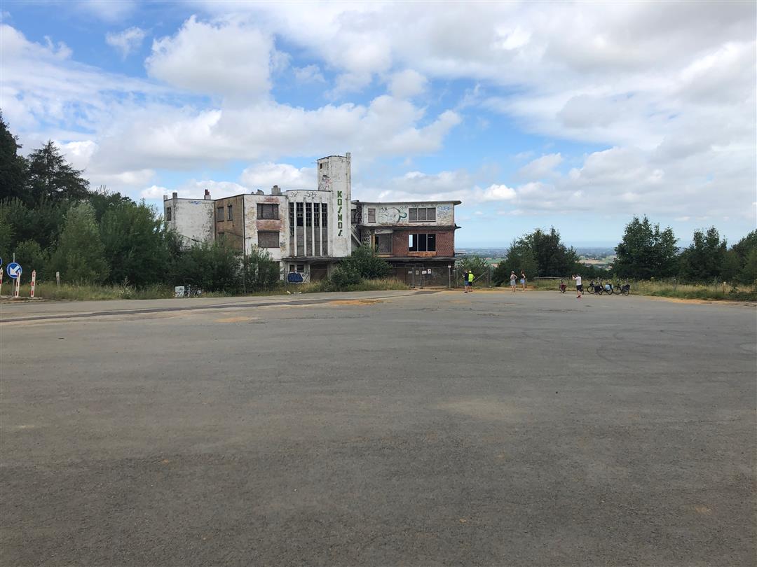
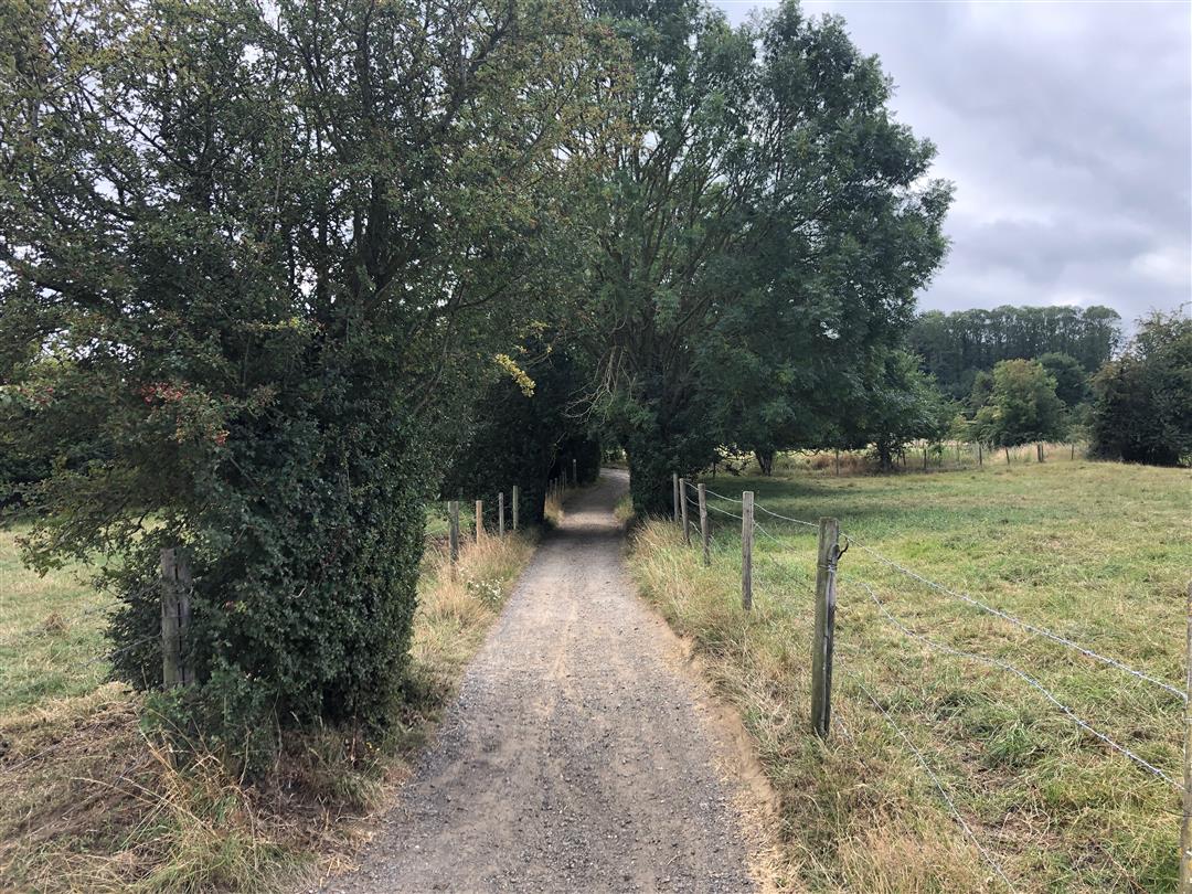
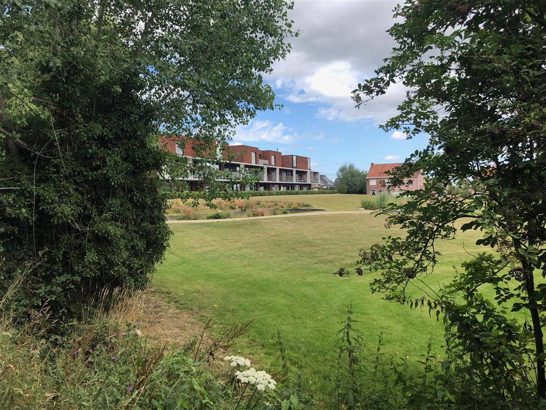
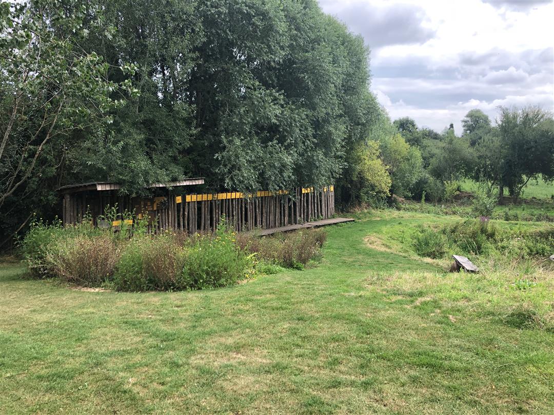
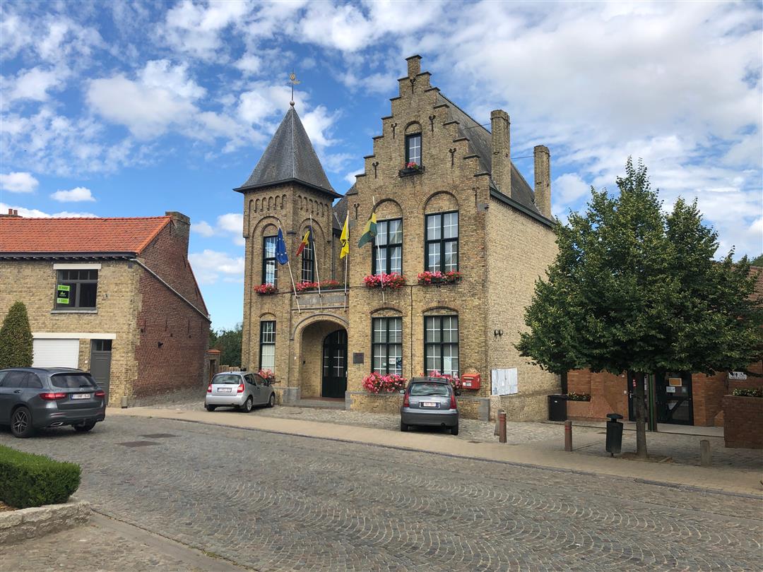
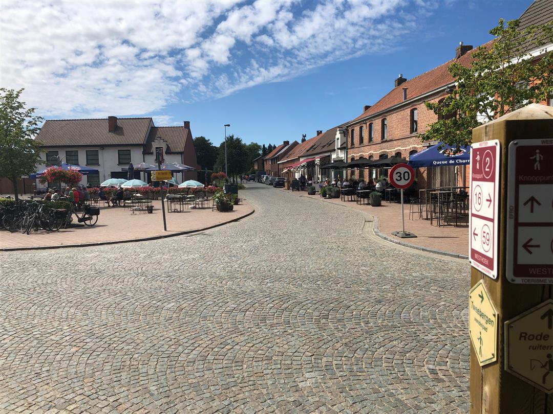
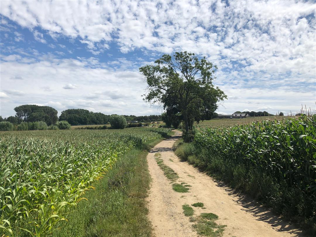
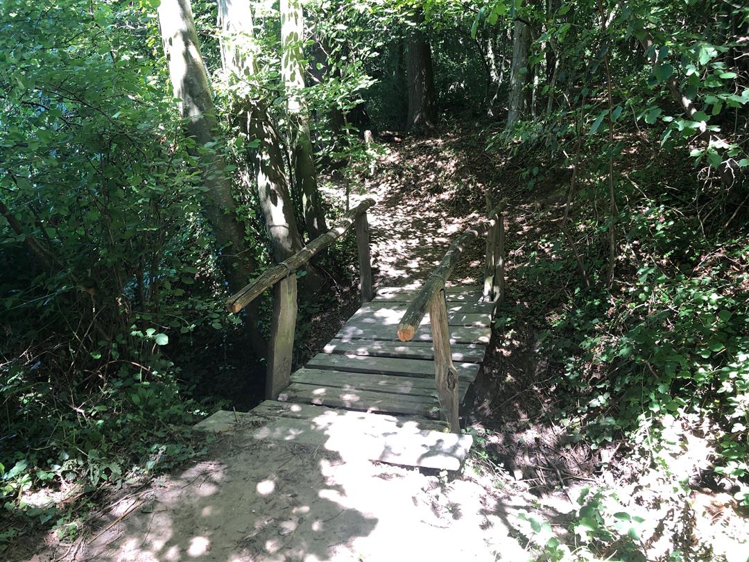
The hike starts on top of Rodeberg at the vacation resort Kosmos, known from the TV series "Eigen Kweek. You walk past cabbage and corn fields, red poppies and blue cornflowers. You look into the eyes of grazing cows and spot the lark high in the sky. The trail flirts around and around Westouter, the largest municipality in the Heuvelland region. There is no shortage of catering establishments in the charming village center.The Saint-Eligius Church was damaged during World War I but the tower remained standing. The best part is waiting for you at the end, an adventurous climb through a dense deciduous forest towards Rodeberg. You walk over wooden paths and bridges, through hollow roads, past an overyear-old rhinoceros until you reach the top of Rodeberg again.
automatic translation
 nodes to follow
0 km
0.2 km
0.3 km
0.5 km
0.8 km
1 km
1.2 km
1.6 km
2.3 km
2.3 km
3.2 km
3.4 km
4 km
4.4 km
4.6 km
5 km
5.3 km
5.7 km
5.8 km
6.1 km
6.1 km
6.7 km
6.9 km
7.1 km
7.1 km
7.4 km
Saturday, July 31, 2021 by bert rouckhoutnice walk terasje in westouter and beautiful at the end
automatic translation
Saturday, July 31, 2021 by B.R.nice walk with spicy end
automatic translation
Saturday, December 26, 2020 by J.D.Beautiful route. Last part is tough though, especially after rainy weather is very muddy!
automatic translation
Saturday, November 7, 2020 by T.G.Very beautiful and achievable with the children. Beautiful views. Own little snack for the road and it's complete.
automatic translation


 Upgrade to Premium Plus
