 Hiking
 Login
Login
 More
More
 EN
EN
 Premium
The Pink March: Woodland
automatic translation
7.7 km • Lommel
 official route
3.44312 4 4.5/5
route offered by
 Addresse starting point (approximate)
Sportveldenstraat 15, 3920 Lommel
 signage
The route is fully signposted with nodes.
 Description
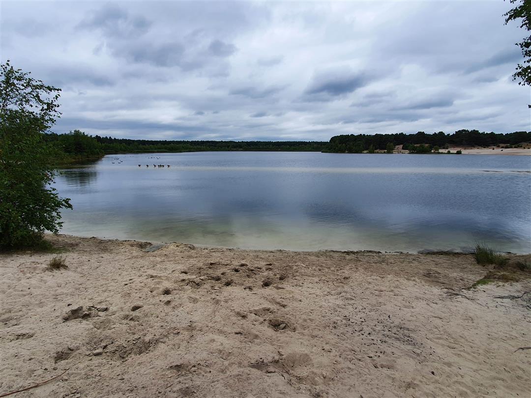
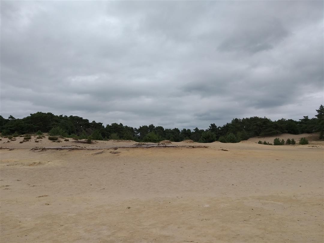
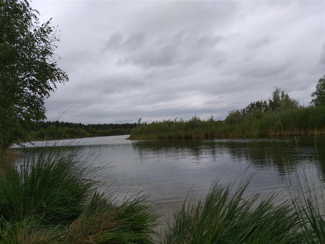
Put on your best walking shoes and discover this beautiful hike that starts at De Soeverein in Lommel. After climbing a small dune, you come out on an open sandy plain with a large connecting lake. Ideal for enjoying a ray of sunshine and a nice foot bath in warm weather. Let yourself be carried away to quiet paths honored in an immense tree landscape.
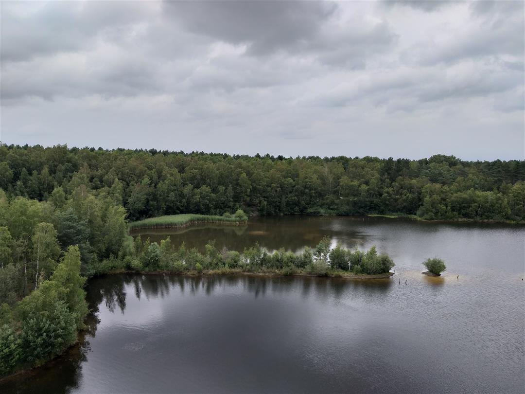
Be sure to look around you, who knows you might spot a pied tadpole along the way. The (literal) highlight of the hike is the observation tower with observation glasses that give you a spectacular 360° view of the Lommel Sahara. After the bird-watching point the dirt road gives way to a paved walking ground and you can meet some frolicking horses in the meadow.
automatic translation
 nodes to follow
0 km
0.2 km
0.8 km
1.2 km
1.8 km
2.9 km
3.7 km
4.1 km
4.7 km
5 km
5.7 km
5.9 km
6.8 km
7.5 km
7.6 km
7.8 km
Friday, February 10, 2023 by Gerard Van SeerHiked February 9, 2023 in the late afternoon, beautiful dry weather, met a dozen other hikers at the beginning, and from the third junction only 2 ladies walking the dog (on a leash). Hiked around the Sahara Nature Reserve (not accessible) with beautiful panoramas along the way. Good signage.
automatic translation
Monday, August 23, 2021 by N.V.Beautiful varying scenery during the hike but way too crowded. Also sorry about the many prohibition signs constantly reminding you that you are being filmed and threatening fines (only breathing is still allowed).
automatic translation
Friday, June 21, 2024 by W.Z.You apparently do not like people and do not like nature , I advise you to stand in front of the mirror and produce a wide long smile for once ,
automatic translation
Saturday, April 24, 2021 by Michel VMTop hike !!! Very beautiful natural area.
automatic translation
Wednesday, October 28, 2020 by V.S.Hike done on 09.09.2020 BEAUTIFUL. Plenty of opportunities to picnic, and, the observation tower gives you a great view of the whole area. Definitely worth repeating several times.
automatic translation


 Upgrade to Premium Plus
