
 Hiking
 Login
Login
 More
More
 EN
EN
 Premium
Kempinnewandeling
11.3 km • Linter
 official route
1.8915 1 1/5
route offered by

 Addresse starting point (approximate)
Sint-Mauritiuskerk, Langestraat, 3350 Neerhespen (Linter)
 signage
The route is signposted with thematic signs (no nodes). You can use a GPS device or our app to follow the route through the virtual nodes.
 Description
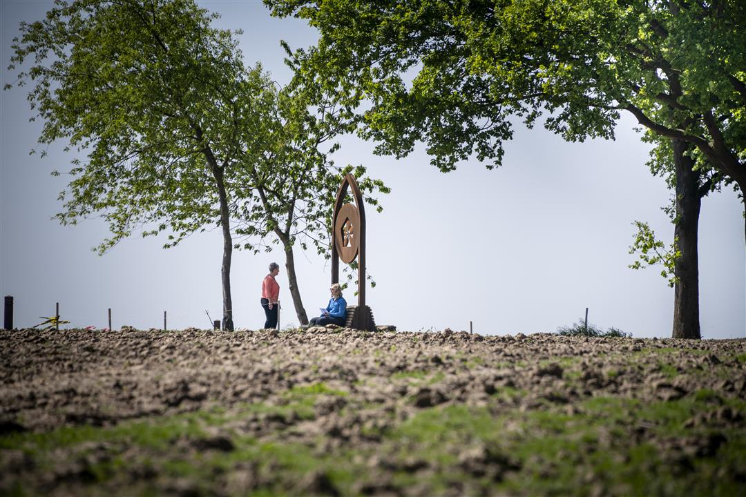
In the picturesque village of Neerhespen, a brisk walk through vast fields awaits you. You’ll pass centuries-old buildings such as Neerhespen Castle, the Zulpele Farm, and the unforgettably beautiful Holy Cross Chapel in the middle of the fields. According to legend, the chapel was built on the spot where a farmer found a statue of Christ in the Middle Ages. You’ll pass Mimesis, a fruit-shaped artwork with a hidden Braille message.
Before you set out: This is a walk on a virtual walking network. The junctions are not marked on the ground. Follow the hexagonal red-and-white signs bearing the name of the walk.
automatic translation
 nodes to follow
0 km
0.6 km
0.8 km
1.9 km
2.2 km
3.1 km
3.1 km
3.7 km
4 km
4.3 km
5.8 km
7.3 km
7.5 km
9.4 km
10.7 km
11.3 km



 Upgrade to Premium Plus


