
 Hiking
 Login
Login
 More
More
 EN
EN
 Premium
Hespensche wandeling
7.4 km • Linter
 official route
2.1822 1 2/5
route offered by

 Addresse starting point (approximate)
Sint-Sulpitiuskerk, Geldenakenstraat, 3350 Overhespen (Linter)
 signage
The route is signposted with thematic signs (no nodes). You can use a GPS device or our app to follow the route through the virtual nodes.
 Description
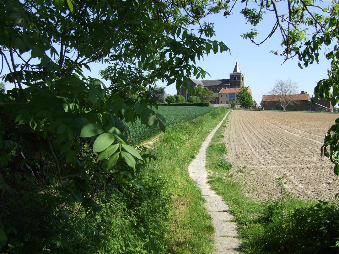
You can still find them—the little villages where time seems to have stood still, clustered around the church. Like Overhespen, Neerhespen, and Wange in the Kleine Gete Valley. You’ll walk through vast fields as the church tower of the next village comes into view in the distance. For a moment, you’ll disappear into a beautiful sunken road and walk along a section of a Roman military road that once connected Tienen with Tongeren.
Before you set out: This is a walk on a virtual hiking network. The junctions are not marked on the ground. Follow the hexagonal red-and-white signs bearing the name of the walk.
automatic translation
 nodes to follow
0 km
0.2 km
1.5 km
2.8 km
3.7 km
3.9 km
5.2 km
5.4 km
7.2 km
7.4 km



 Upgrade to Premium Plus


