 Hiking
 Login
Login
 More
More
 EN
EN
 Premium
Ast tot Bostwandeling
11.8 km • Tienen
 official route
1.6661 4 3/5
route offered by
 Addresse starting point (approximate)
Begijnhofkerk, Bostsestraat, 3300 Tienen
 signage
The route is signposted with thematic signs (no nodes). You can use a GPS device or our app to follow the route through the virtual nodes.
 Description
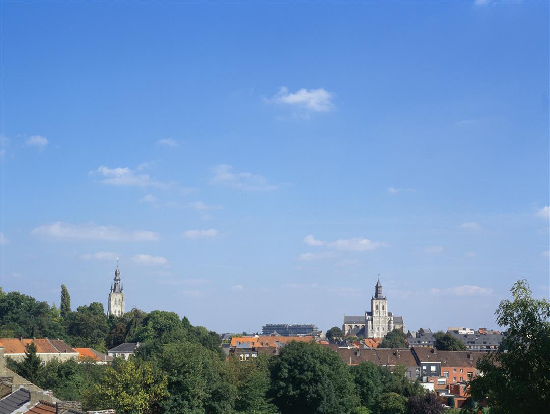
Start at the Paters Church near the Tienen Sugar Refinery for a rural walk to Bost and Goetsenhoven. Along the way you will enjoy beautiful views of the sugar town. At the Castle of Ast you can unwind in the Chapel of Our Lady of the Stone.
NOTE: This is a hike on a virtual hiking network. The nodes are not signposted on the property. Follow the 6-sided red and white signs with the name of the hike.
automatic translation
 nodes to follow
0 km
0.1 km
1.9 km
2.7 km
4.4 km
5.2 km
7.3 km
8.1 km
9.1 km
9.1 km
9.7 km
10.3 km
10.3 km
11.8 km
Sunday, January 18, 2026 by Alisha Van Elslander A really beautiful walk!
automatic translation
Thursday, July 31, 2025 by L.N.It would be helpful, though, if this page had an example of the "thematic sign" to follow....
automatic translation
Friday, December 29, 2023 by T.N.After getting stuck with the GPS in the center of Tienen, we parked at Lidl. We walked up to the church where we didn't see the signs. We did see signs of 2 other short walks. We decided to do the Women's walk. A little later we passed the ruins of what used to be a church. Apparently that's where the hike started.
automatic translation
Friday, September 11, 2020 by Theo FrancoisThis route is indeed signposted!
automatic translation


 Upgrade to Premium Plus
