
 Hiking
 Login
Login
 More
More
 EN
EN
 Premium
Panbruggewandeling
9 km • Landen
 official route
3.0162 2 3.8/5
route offered by

 Addresse starting point (approximate)
Parking centrum Neerlanden, F. Istasstraat 15, 3404 Neerlanden (Landen)
 signage
The route is signposted with thematic signs (no nodes). You can use a GPS device or our app to follow the route through the virtual nodes.
 Description
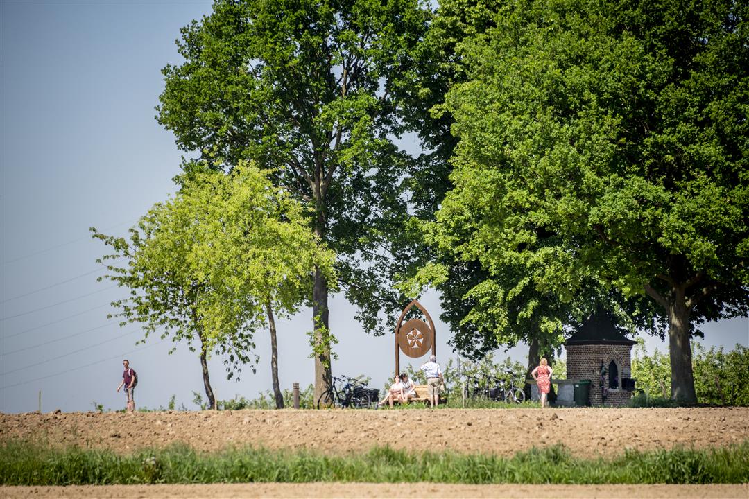
From the center of Neerlanden, you walk into the rural landscape, passing through numerous orchards and fertile fields. For a while, you’ll walk along the former Roman military road from Tongeren to Tienen. The ‘t Eikske Chapel is the perfect place to rest, offering beautiful views of the entire region. There’s something mystical about this place of prayer in the middle of the fields. One bench stands out: the blossom artwork *Mimesis* features a stately Gothic vault topped by a graceful apple blossom.
Before you set out: This is a walk on a virtual hiking network. The junctions are not marked on the ground. Follow the hexagonal red-and-white signs bearing the name of the walk.
automatic translation
 nodes to follow
0 km
0.5 km
1.3 km
3.5 km
4.1 km
5.6 km
5.6 km
6.9 km
7.4 km
8.5 km
8.9 km
Saturday, August 5, 2023 by D.B.Once again enjoyed this walk in our own region! Plenty of variety: open fields, trees, grass, swampy roads, paved roads, in short, blissful!!! Didn't see a single garbage can for the dog's poop bag... Also a small stretch on a lane where cars drive too fast and no footpath, so good care there. But definitely worth repeating!
automatic translation
Sunday, October 11, 2020 by Ludo VanderdoodBeautiful hike, highly recommended, ideal for persons who enjoy views and open space. Very flat and well trodden.
automatic translation



 Upgrade to Premium Plus


