 Hiking
 Login
Login More
More EN
EN Premium
Village and Chapel Walk
automatic translation
9.1 km • Hoegaarden
 official route
9.1 km
0.0 km
0.0 km
route offered by
 Addresse starting point (approximate)
Park van Hoegaarden, Houtmarkt 1, 3320 Hoegaarden
 signage
The route is not signposted. Use a GPS device or our app to follow the route through the virtual nodes.
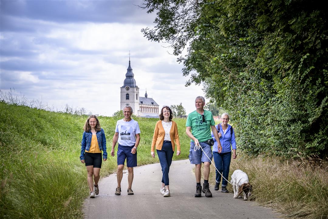
© Lander Loeckx
 Description
Get to know Hoegaarden's main cultural and historical attractions: the Park of Hoegaarden, the Refugia of the 11,000 Virgins, etc. You will pass many chapels, hollow roads and a beautiful, rolling landscape.
NOTE: This is a hike on a virtual hiking network. The nodes are not signposted on the property. Follow the 6-sided red and white signs with the name of the hike.
This hike is offered by Tourism Flemish Brabant.
automatic translation
 nodes to follow
0 km
0.1 km
0.6 km
0.7 km
1.5 km
2.3 km
2.7 km
3.3 km
3.3 km
6.3 km
6.9 km
7.8 km
8.4 km
9 km
9 km
9.1 km


 Upgrade to Premium Plus
