
 Hiking
 Login
Login
 More
More
 EN
EN
 Premium
Dorps- en Kapellenwandeling
9.1 km • Hoegaarden
 official route
2.0981 0 0/5
route offered by

 Addresse starting point (approximate)
Park van Hoegaarden, Houtmarkt 1, 3320 Hoegaarden
 signage
The route is signposted with thematic signs (no nodes). You can use a GPS device or our app to follow the route through the virtual nodes.
 Description
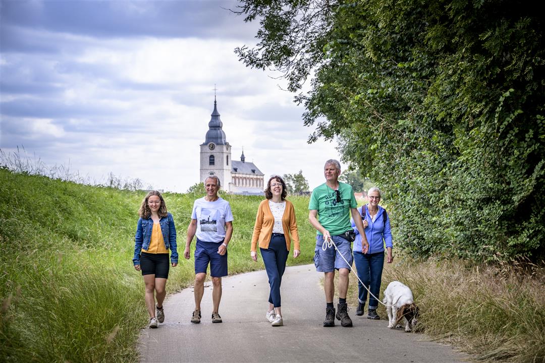
First, explore the center of the beer village of Hoegaarden to get a glimpse of its most important cultural and historical landmarks. Start with the beautiful St. Gorgonius Church, the largest Rococo church in the country. Then walk past the four-hectare Hoegaarden Park, the brewery, and the impressive square farmstead known as the “Refuge of the 11,000 Virgins.” As the houses fade behind you, you’ll walk through an open landscape with sunken roads and small chapels. Halfway through, you’ll come across the nearly 55-million-year-old petrified trees of the Goudberg geosite.
Before you set out: This is a walk on a virtual hiking network. The junctions are not marked on the ground. Follow the hexagonal red-and-white signs bearing the name of the walk.
automatic translation
 nodes to follow
0 km
0.1 km
0.6 km
0.7 km
1.5 km
2.3 km
2.7 km
3.3 km
3.3 km
6.3 km
6.9 km
7.8 km
8.4 km
9 km
9 km
9.1 km



 Upgrade to Premium Plus


