Loading...

Woodland Walk

automatic translation

3.3 km • Geetbets

Icon official route official route

3.3 km 0.0 km 0.0 km

route offered by

Badge of official route

Icon starting point Addresse starting point (approximate)

Sporthal De Warande, Ketelstraat 54, 3450 Rummen (Geetbets)

Icon type signage of route signage

The route is fully signposted with nodes.
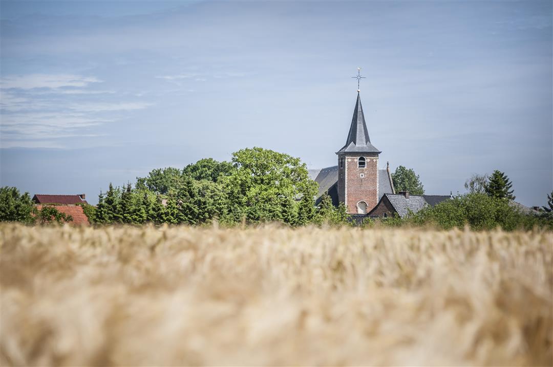
5m 5m 5m 5m
© Lander Loeckx

Icon description route Description

With this accessible walk, you will discover that army camps were already being built in Rummen at the time of the Romans to face the region's Gauls. Today, there are still clear traces in the municipality dating back to that time.

This walk is offered by Tourism Flemish Brabant.

automatic translation

Icon nodes to follow nodes to follow

Image node 432
0 km
Image node 433
0.2 km
Image node 420
0.7 km
Image node 421
0.8 km
Image node 422
1.6 km
Image node 430
2.5 km
Image node 431
3.2 km
Image node 432
3.4 km
This route has 1 review(s).
Rate route!

Sunday, November 8, 2020 by E.F.This is not a nice walk. Just along rows of houses, without any nice views.
automatic translation

Which POI do you want to show on the map?

Experimental hiking network
Unsigned icon

The route you have chosen runs (partly) along an experimental virtual hiking node network (the blue-coloured nodes and sections on the map).

You must be logged in to plan routes here.

Experimental hiking network
Unsigned icon

The route you have chosen runs (partly) along an experimental virtual hiking node network (the blue-coloured nodes and sections on the map).

These routes are not controlled in the field. Before you start hiking here, take a minute to read what an experimental hiking node network is and what rules you should follow when hiking here.