
 Hiking
 Login
Login
 More
More
 EN
EN
 Premium
Landelijk Linterwandeling
5.9 km • Linter
 official route
1.7752 2 1.8/5
route offered by

 Addresse starting point (approximate)
Bibliotheek, Grote Steenweg 66, 3350 Neerlinter (Linter)
 signage
The route is fully signposted with nodes.
 Description
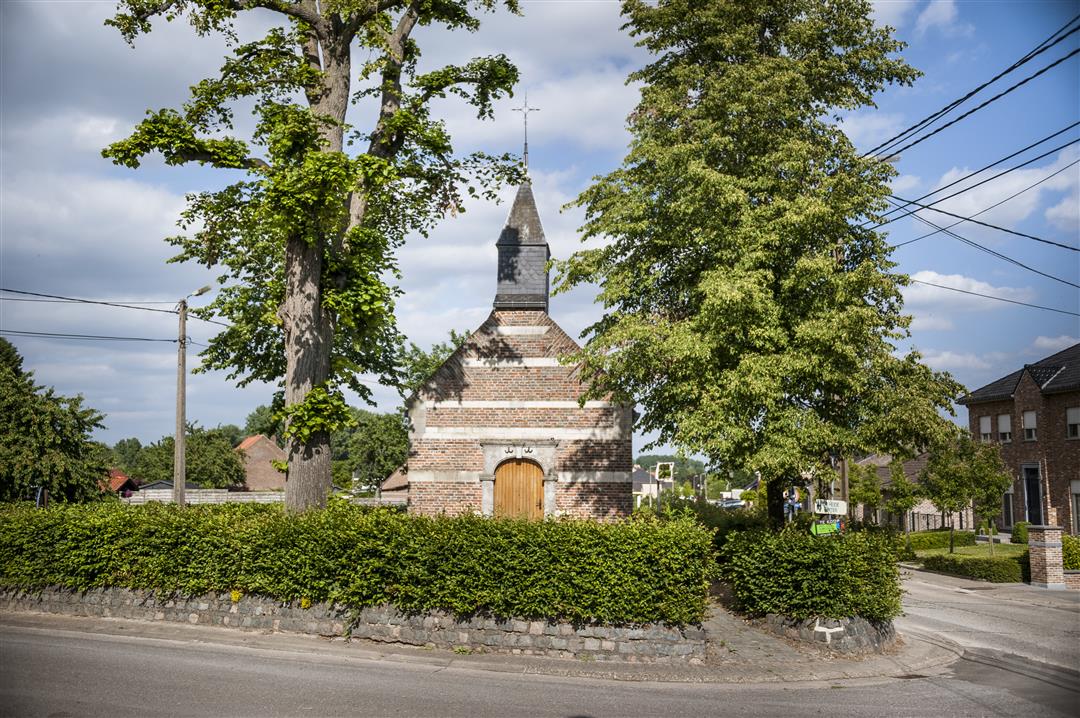
The church, the library, the elementary school, and Café ’t Pleintje on the corner. The center of Neerlinter is just what you’d expect from a rural village in Flemish Brabant. From here, this easy walk takes you deeper into the Gete Valley along the IJzerenweg. This old railroad right-of-way is now a car-free bike and walking path winding through fields and fruit orchards. Take a detour to the Houten Reus, a ten-meter-high observation tower offering a stunning view of the valley.
automatic translation
 nodes to follow
0 km
0.2 km
0.7 km
1.6 km
1.9 km
2.3 km
3.8 km
4 km
4.8 km
4.9 km
5.9 km
6 km
Wednesday, October 13, 2021 by A.D.Could be a nice hike if the signage was correctly marked. Junction 143 is not at all near the library, but +/- 1 km further on.
automatic translation
Sunday, September 20, 2020 by G.M.Is actually a walk for wheelchair users. Bike path and concrete road alternate constantly. No field paths to be found, although there are numerous opportunities to use them along the way. Too bad. Since I do not really know the region I followed the route.
automatic translation



 Upgrade to Premium Plus


