
 Hiking
 Login
Login
 More
More
 EN
EN
 Premium
Houtemwandeling
4 km • Tienen
 official route
1.7381 2 2.8/5
4 km
0.0 km
0.0 km
route offered by

 Addresse starting point (approximate)
Sint-Margarethakerk, Houtemstraat 538, 3300 Sint-Margriete-Houtem (Tienen)
 signage
The route is fully signposted with nodes.
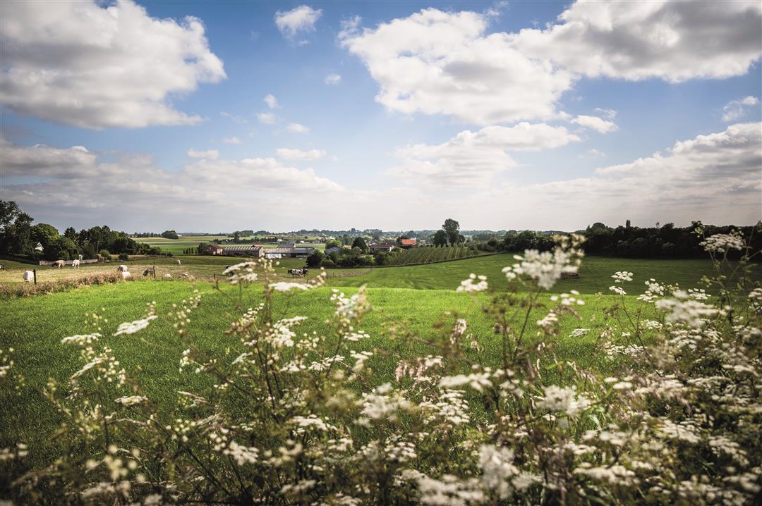
© Lander Loeckx
 Description
The farmland landscape of Sint-Margriete-Houtem lies just outside the city limits of Tienen. This walk takes you through open fields, and every now and then you’ll find yourself a little deeper into a beautiful sunken road. The Genovevabeek stream originates at the Muizenbeemd farm. Somewhere around here, the village must have been founded in the ninth century from a knight’s farmstead. The farmstead was named Houtheem, which meant “house by the forest.”
automatic translation
 nodes to follow
0 km
0.4 km
1.1 km
1.4 km
1.9 km
2.4 km
2.7 km
4 km



 Upgrade to Premium Plus


