
 Hiking
 Login
Login
 More
More
 EN
EN
 Premium
Viskot-Terhagenwandeling
11.9 km • Zoutleeuw
 official route
2.0261 2 3.2/5
route offered by

 Addresse starting point (approximate)
Grote Markt, 3440 Zoutleeuw
 signage
The route is fully signposted with nodes.
 Description
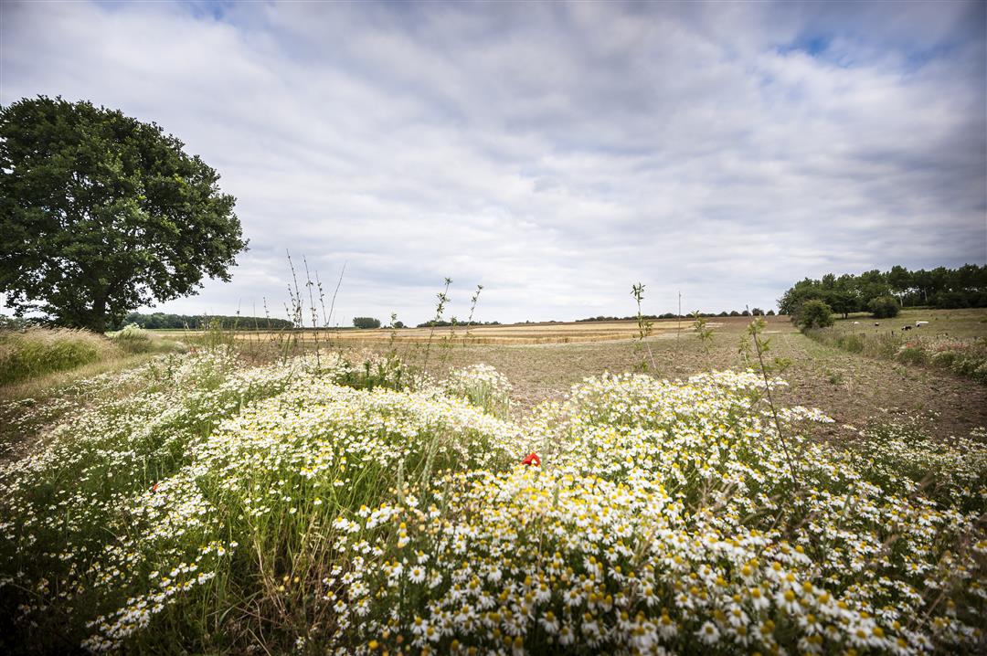
First, take a moment to admire the medieval splendor of Zoutleeuw’s Grote Markt. If St. Leonard’s Church is open, be sure to take a look at the sacrament tower from 1552, which features no fewer than 200 figurines from the Bible. From here, head into the Grote Gete valley, past the Viskot green space to the hamlet of Terhagen. You’ll pass the remains of the old city walls, such as the 14th-century Water Gate.
automatic translation
 nodes to follow
0 km
0.5 km
0.7 km
1.6 km
2.3 km
2.5 km
2.6 km
4 km
4.1 km
5.8 km
6.2 km
6.8 km
7.8 km
8.7 km
9.8 km
9.9 km
11.1 km
11.3 km
11.7 km
11.7 km
11.9 km
Sunday, December 29, 2024 by L.V.Promising start, but as quickly the hike became a bit monotonous. Large sections coincide with the bicycle highway. We did the hike on a cold winter day, but in sunny weather it could be very crowded. Between node 34 and 315 the trail was completely flooded, so we had to make a detour through the field.
automatic translation
Thursday, April 29, 2021 by A.B.Nice walk, which we combined with the walk around Het Vinne. Too bad though about the concrete roads that are mainly built for cyclists and not a pleasant walk for the hiker. We extended the route along nodes 111-112-113-314-36 to get rid of the many cyclists.
automatic translation



 Upgrade to Premium Plus


