
 Hiking
 Login
Login
 More
More
 EN
EN
 Premium
Rotemwandeling
11.5 km • Zoutleeuw
 official route
2.2023 1 3/5
route offered by

 Addresse starting point (approximate)
Sint-Cyriacuskerk, Terweidenstraat 36, 3440 Budingen (Zoutleeuw)
 signage
The route is fully signposted with nodes.
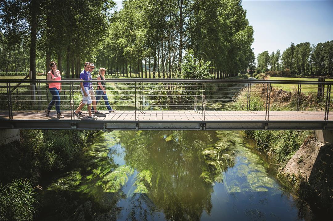
 Description
In the village of Budingen, the Kleine Gete and the Grote Gete converge and flow into the landscape as simply the Gete. This rural hike is named after the Rotemwinning, a centuries-old square farmstead that was demolished thirty years ago. Enjoy the magnificent view of Budingen, Terhagen, and the Gete Valley from the Hulsberg plateau. The secluded little brick chapel of St. Job usually opens its doors in the summer.
automatic translation
 nodes to follow
0 km
0.7 km
2.7 km
3.8 km
4.2 km
4.5 km
5.4 km
6.1 km
7.8 km
8 km
8.6 km
8.7 km
9.9 km
11.5 km
Monday, July 27, 2020 by G.I.The first few kilometers are very beautiful, but after that this hike runs almost entirely through more or less built-up areas.
What we also found unfortunate was that there was only a "stop" at the beginning (Julietan, I thought) and nothing else and that, after the first few kilometers, there was no bench or anything like that.
We enjoyed it anyway, but a little more nature would have appealed more to us.
automatic translation



 Upgrade to Premium Plus


