
 Hiking
 Login
Login
 More
More
 EN
EN
 Premium
Vrouwenwandeling
2.9 km • Tienen
 official route
1.2942 1 3/5
route offered by

 Addresse starting point (approximate)
Stadspark Tienen, Dr. J. Geensstraat 32, 3300 Tienen
 signage
The route is signposted with thematic signs (no nodes). You can use a GPS device or our app to follow the route through the virtual nodes.
 Description
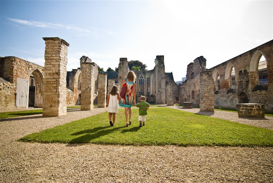
Throughout Tienen’s history, women have always played an important role. On this short city walk, you’ll learn more about the mystic Beatrijs van Nazareth, Sister Anna Wielandt, Prioress Anna Papadopoli, poet Julia Tulkens, and other fascinating women who left their mark on the city’s history. Along the way, you’ll discover many of the sights Tienen has to offer, such as the Church of Our Lady at Poel, City Hall, and the Beguinage Church.
Before you set out: This is a walk on a virtual walking network. The junctions are not marked on the ground. Follow the hexagonal red-and-white signs bearing the name of the walk.
automatic translation
 nodes to follow
0 km
0.3 km

0.4 km
0.4 km
0.4 km
0.5 km
0.7 km
1 km
1.2 km
1.3 km
1.6 km
1.6 km
1.8 km
2.6 km
2.9 km



 Upgrade to Premium Plus


