 Hiking
 Login
Login More
More EN
EN Premium
Little Tide Walk
automatic translation
9 km • Linter
 official route
route offered by
 Addresse starting point (approximate)
Gemeentehuis, Helen Bosstraat, 3350 Orsmaal (Linter)
 signage
The route is fully signposted with nodes.
 Description
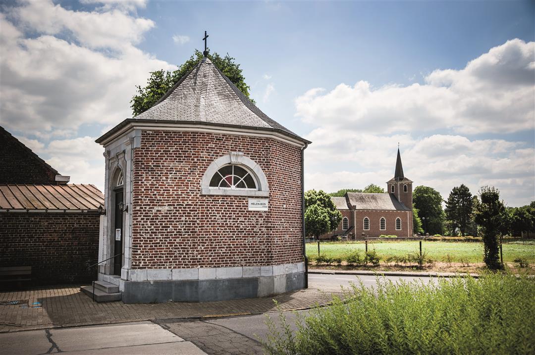
If you follow the Kleine Getewandeling, you will reach the center of Orsmaal, which has been classified as a village site. Walking in the valley of this river is to enjoy a beautiful green place with bushes, fields and hedge edges.
This walk is offered by Tourism Flemish Brabant.
automatic translation
 nodes to follow
0 km
0.3 km
1.4 km
1.9 km
2.9 km
3.4 km
5.1 km
6.1 km
7.1 km
8.2 km
9 km
Sunday, July 26, 2020 by Peter WilsDeparture is in Orsmaal. Here there is a lot of history to absorb about the First World War. You can visit the nearby museum after the hike. Along the way there are several information boards at places where fierce battles were fought at the time. But first we move into the fields, among the many fruit orchards. We see cherries, redcurrants, apples and pears. Also, fields of corn and maize. In the distance, here and there, we see a church tower rising above the landscape. Having overcome the gentle hilltop, we reach the banks of the winding Kleine Gete. We stroll back along this quiet hiking path towards Orsmaal.
Assessment: nice varied hike between fields and orchards. We enjoy the views, the quiet surroundings and nature. And at the end we stroll along the banks of the winding Kleine Gete, nice and quiet. Enjoy !
automatic translation


 Upgrade to Premium Plus
