
 Hiking
 Login
Login
 More
More
 EN
EN
 Premium
Vestenwandeling
3.4 km • Landen
 official route
1.2301 2 2/5
route offered by

 Addresse starting point (approximate)
Belevingscentrum Rufferdinge, Molenbergstraat 4, 3400 Landen
 signage
The route is signposted with thematic signs (no nodes). You can use a GPS device or our app to follow the route through the virtual nodes.
 Description
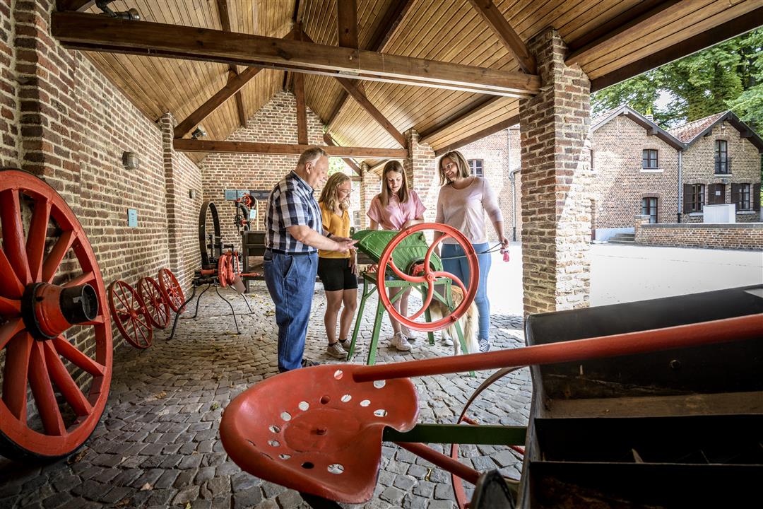
A brief but surprising introduction to the history of Landen, a small town founded around 1200 and once home to Pepijn Van Landen (580–640). This walk largely follows the town walls, which no longer exist. Highlights include the town hall, the Pepijn Fountains, St. Gertrude’s Church, and the Rufferdinge Visitor Center—a centuries-old watermill where you can learn all about technology and hydropower.
Before you set out: This is a walk on a virtual walking network. The junctions are not marked on the ground. Follow the hexagonal red-and-white signs bearing the name of the walk.
automatic translation
 nodes to follow
0 km
0.1 km
0.4 km
0.9 km
0.9 km
1.5 km
1.6 km
1.9 km
2.2 km
2.2 km
2.3 km
2.4 km
2.6 km
3.4 km
Friday, August 21, 2026 by Moreau GeertA nice walk to discover the history of Landen through its vanished fortifications.
The Rufferdinge Museum is definitely worth a visit to see the inner workings of a windmill and check out a small but interesting exhibition on the history of Landen.
automatic translation
Friday, August 4, 2023 by D.B.A hike with many missed opportunities! It starts at Rufferdingepark without going through it and you also walk past the entrance of a beautiful nature reserve, the Beemden, without entering it. The walk starts 150m from my door, with that I knew how to walk, fortunately, because the signposts are anything but clear.
automatic translation



 Upgrade to Premium Plus


