 Hiking
 Login
Login More
More EN
EN Premium
Vest walk
automatic translation
3.3 km • Landen
 official route
2670 1 1/5
route offered by
 Addresse starting point (approximate)
Belevingscentrum Rufferdinge, Molenbergstraat 4, 3400 Landen
 signage
The route is signposted with thematic signs (no nodes). You can use a GPS device or our app to follow the route through the virtual nodes.
 Description
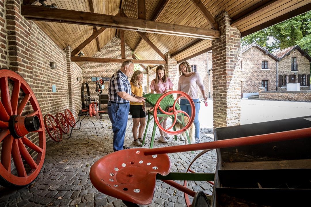
This walk takes you into the history of the town of Landen, where Pepin Van Landen (580-640) once lived. The Rufferdinge visitor center is also a centuries-old water mill. Also discover impressive square farms and burial mounds on your way.
NOTE: This is a walk on a virtual walking network. The nodes are not signposted on the property. Follow the 6-sided red and white signs with the name of the hike.
This hike is offered by Tourism Flemish Brabant.
automatic translation
 nodes to follow
0 km
0.1 km
0.4 km
0.9 km
0.9 km
1.1 km
1.3 km
1.6 km
1.6 km
1.6 km
2.3 km
2.4 km
2.7 km
3.4 km
Friday, August 4, 2023 by D.B.A hike with many missed opportunities! It starts at Rufferdingepark without going through it and you also walk past the entrance of a beautiful nature reserve, the Beemden, without entering it. The walk starts 150m from my door, with that I knew how to walk, fortunately, because the signposts are anything but clear.
automatic translation


 Upgrade to Premium Plus
