 Hiking
 Login
Login
 More
More
 EN
EN
 Premium
Toegankelijke Zevenbronnenwandeling
3.7 km • Landen
 official route
1.6050 1 5/5
route offered by
 Addresse starting point (approximate)
Kruispunt Walhostraat en Wezerenstraat, 3401 Walshoutem (Landen)
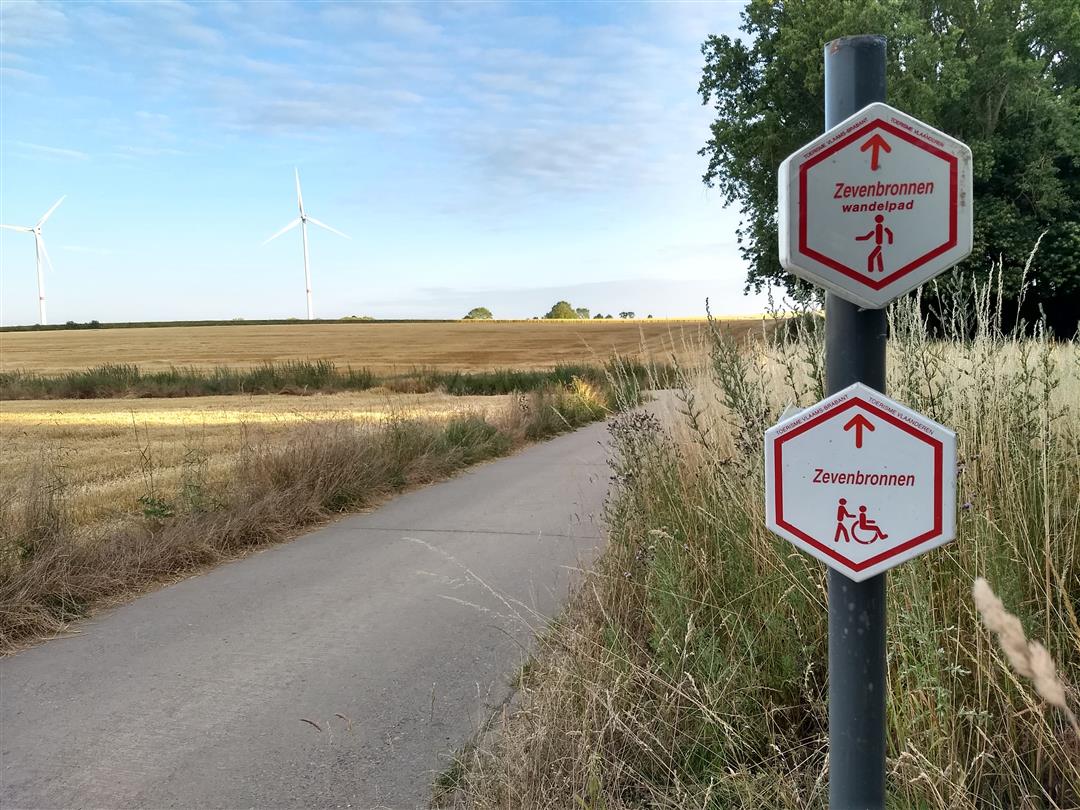
 signage
The route is signposted with thematic signs (no nodes). You can use a GPS device or our app to follow the route through the virtual nodes.
 Description
Fields as far as the eye can see, with just the occasional solitary house or farm. And yet this walk in Walshoutem follows only paved paths, even as the Zevenbronnenweg—a beautiful sunken road—sinks deeper into the landscape. Take a moment to rest at the white Holy Cross Chapel, where farmers once came to pray to spare their sick livestock from further suffering. You’ll find more benches along the way, as well as a handy information sign.
automatic translation
 nodes to follow
0 km
0.3 km
3.2 km
3.7 km


 Upgrade to Premium Plus
