
 Hiking
 Login
Login
 More
More
 EN
EN
 Premium
Walsbergenwandeling
10.9 km • Linter
 official route
2.0134 2 5/5
route offered by

 Addresse starting point (approximate)
Sint-Pancratiuskerk, Dorpstraat 64, 3350 Melkwezer (Linter)
 signage
The route is fully signposted with nodes.
 Description
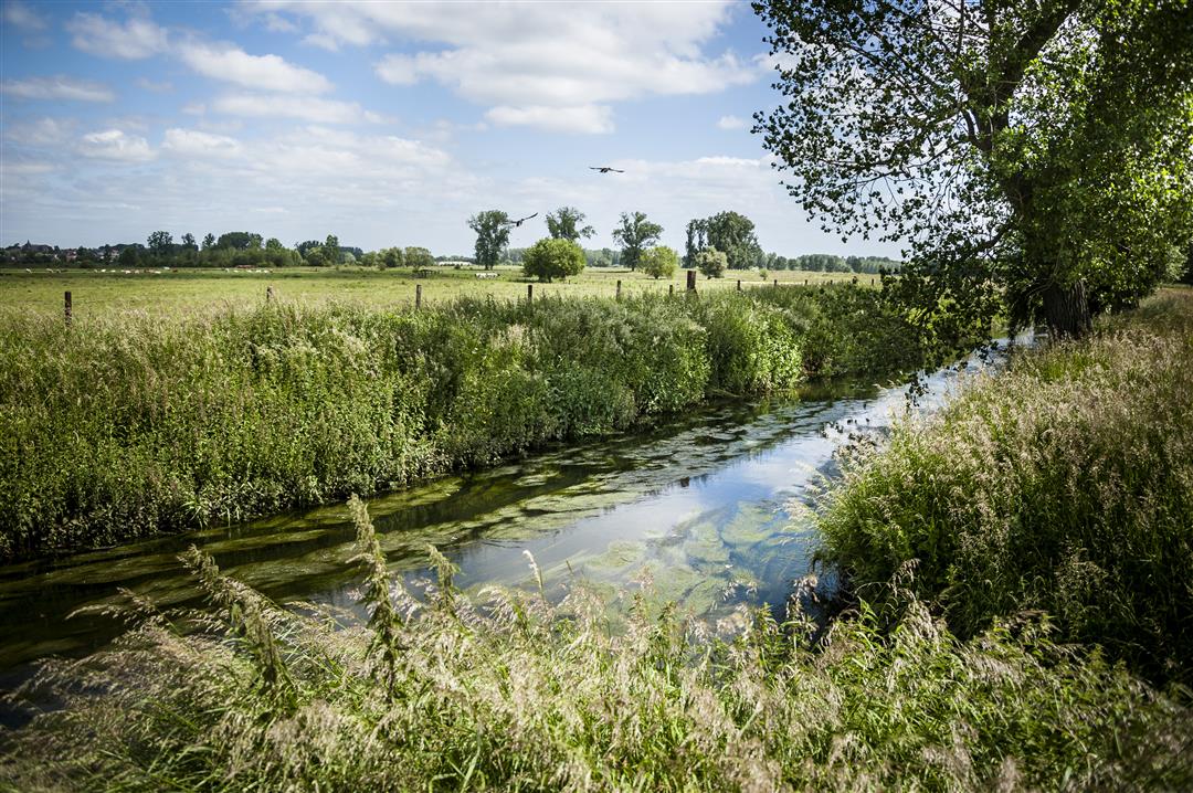
From the small village of Melkwezer, you walk through the fields to Walsbergen Farm and the nature reserve of the same name, which features forests, hayfields, and a pond. Every settlement seems far away here, until after a while you catch sight of the village of Wommersom. The handsome Wommersom Castle was built at the end of the 19th century. The 's Hertogengracht canal takes you all the way to the winding Grote Gete River. Round out your day with a Walsberger, the local beer from Linter.
automatic translation
 nodes to follow
0 km
0.2 km
1 km
1.2 km
1.5 km
2.7 km
3.3 km
4 km
5 km
6.5 km
7.9 km
8.1 km
8.9 km
9.3 km
9.9 km
10.7 km
10.9 km
Monday, June 8, 2026 by S.V.A very beautiful and varied walk, with plenty of parking at the church near the starting point, and a lovely picnic spot halfway along at the "courtship chapel" just past marker 123. ONE TIP: Wear long pants or check for ticks, as you’ll be walking through tall wild grass at times.
automatic translation
Sunday, August 31, 2025 by Dirk BillenVery nice walk
automatic translation



 Upgrade to Premium Plus


