 Hiking
 Login
Login More
More EN
EN Premium
Kelbergen hike
automatic translation
9.8 km • Diest
 official route
1.3280 7 4.1/5
route offered by
 Addresse starting point (approximate)
Sint-Hubertuskerk, Sint-Hubertusplein, 3290 Schaffen
 signage
The route is fully signposted with nodes.
 Description
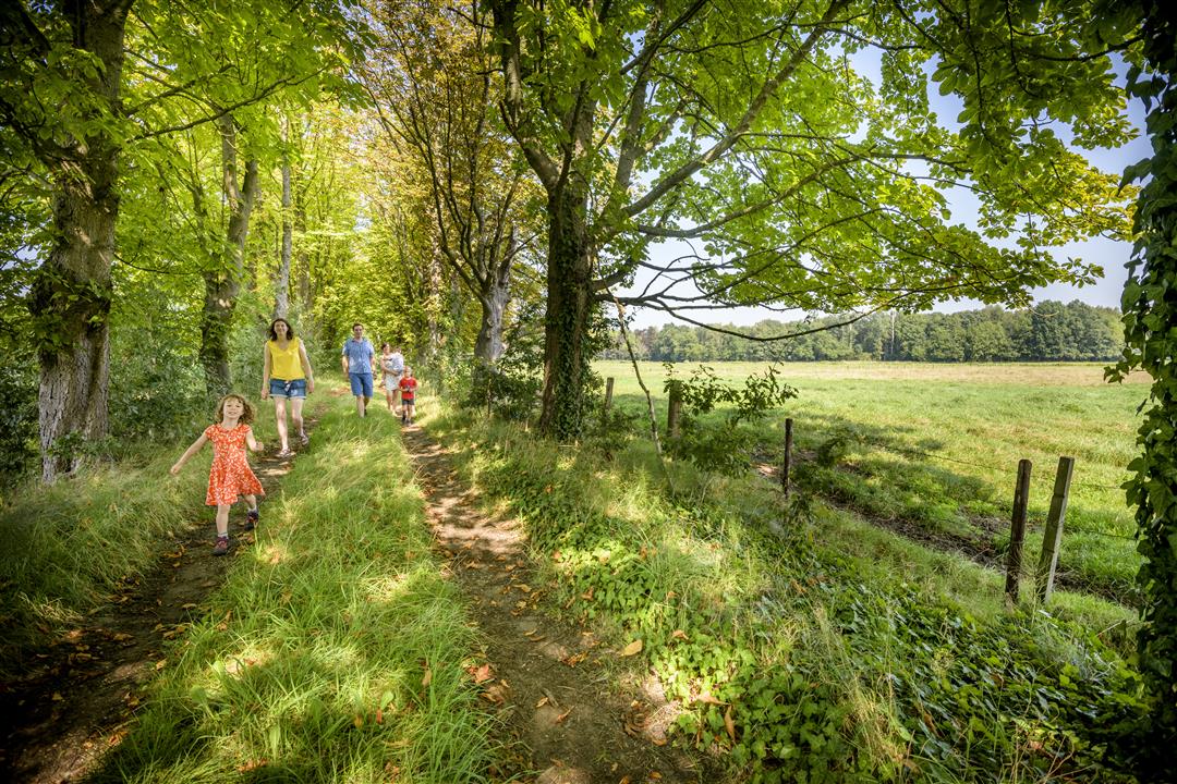
You step through hollow roads and enjoy beautiful vistas. You overlook the valley of the Veldbeek, the wooded Hageland hills and the Demer valley. Test your tree knowledge while walking through the tree nursery and stroll along the schouwbroek, a damp area that was formerly used as hay land.
This walk is offered by Tourism Flemish Brabant.
automatic translation
 nodes to follow
0 km
0.8 km
1.5 km
4.1 km
4.7 km
5.6 km
6.3 km
6.7 km
9 km
9.8 km
Tuesday, April 23, 2024 by Paul Van hoovelsBeautiful hike, good passable roads. Very rural, with nice views next to the beautiful planted trees.
automatic translation
Sunday, March 12, 2023 by P.P.Fantastic hike through the tree farm, with beautiful roads and panoramas afterwards too, and not soggy, after a week of snow/rain.
automatic translation
Saturday, March 27, 2021 by M.V.Nice quiet walk with some views. When the trees "bloom" it will be a beautiful view here in the Nursery !
automatic translation
Thursday, January 21, 2021 by Luc WullaertIndeed lots of vistas and lots of asphalt........ and that's it
automatic translation
Friday, January 15, 2021 by Theo PoelmansBeautiful well-trodden hike, varied landscape, orchards, vistas
automatic translation
Monday, November 9, 2020 by Wim Van HellemontNice quiet walk .
automatic translation
Friday, September 18, 2020 by Peter WilsVery nice walk through rolling countryside! Actually the starting point is at the church. Then you go first for a large part through a tree farm, incredibly beautiful experience! After a piece of asphalt you dive into the woods and fields. The name already gives away that you get to see beautiful panoramic views here. Autumn hike, DO IT !!!
automatic translation


 Upgrade to Premium Plus
