 Hiking
 Login
Login More
More EN
EN Premium
Ant Mountain Walk
automatic translation
15.9 km • Bekkevoort
 official route
7280 6 2.8/5
route offered by
 Addresse starting point (approximate)
Onze-Lieve-Vrouwekerk, Dorpsstraat, 3460 Assent (Bekkevoort)
 signage
The route is fully signposted with nodes.
 Description
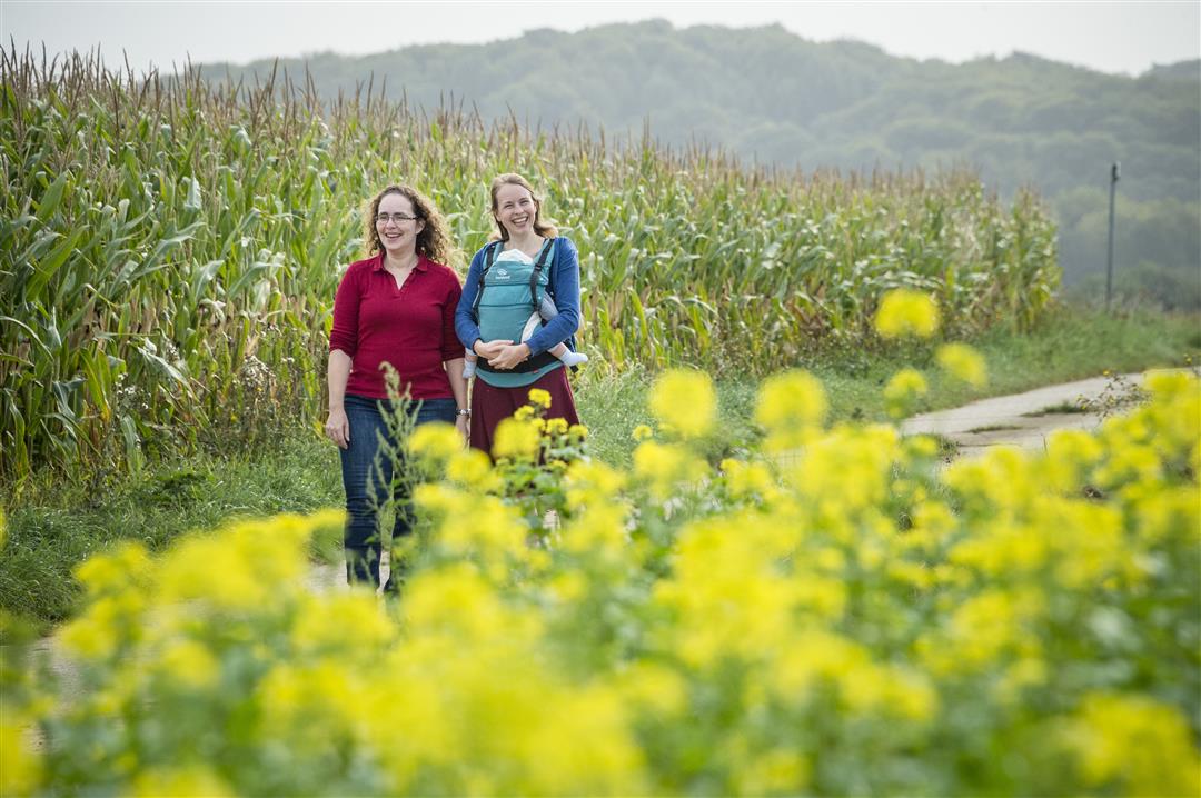
A brisk walk on which you are rewarded with beautiful views. You start at the Church of Our Lady, with furniture and protected organ from the church of the Small Beguinage of Leuven. On your tour, you walk past the grotto of Our Lady of Lourdes, carved into a hollow road. The imposing Sacred Heart statue of 11 meters high at the Prinsenbos protects you from misfortune.
This walk is offered by Tourism Flemish Brabant.
automatic translation
 nodes to follow
0 km
0.2 km
1.1 km
3.8 km
5.6 km
6.4 km
8.7 km
9.8 km
10.4 km
11 km
12.7 km
13.3 km
14.8 km
15.5 km
15.5 km
15.7 km
Saturday, January 23, 2021 by Erwin HoogewysHave hiked this route today and found it very good. Lots of uphill and downhill and we like doing that.You don't have to go to the Flemish Ardennes to experience this. Of course now and then some noise but that did not bother us. Beautiful views and especially very quiet and only walking in these corona times. Highly recommended.
automatic translation
Sunday, November 29, 2020 by J.L.Beautiful hike. Two downsides. In the beginning a series of up and downs on a limited area, not good for variety. And almost always too much ambient noise, not so good for inspiration. See also https://dommeganzen.be/n016ik-wandel-dus-ik-ben/
automatic translation
Monday, November 2, 2020 by L.V.Was not the hike we had hoped for. First part always the E314 in sight with additional noise. Last part on other side of state highway was nice, but walking along that highway is just dangerous, especially when crossing at your own risk
automatic translation
Sunday, October 18, 2020 by F.H.The signposts for the Mierenberg hike give a different route than the one indicated via the crossroads. The trail via the crossroads seems quieter and greener because the other signposts show the trail much closer to Diest, with the necessary traffic noise as a result.
automatic translation
Tuesday, August 4, 2020 by Luc GordtsBeautiful walk through a magnificent landscape where vistas, fruit orchards and hollow roads alternate... Mainly paved and unpaved country roads.
The landscape is tough on the legs.
The route is also well marked.
(Just a pity that the noise of the highway is very present in some places...).
At the starting point in Assent you have free parking in front of the church.
It is best to provide a packed lunch and/or drinks. Only at the start you have a chip shop / snack but .... this one has closing day on Monday and Tuesday.
automatic translation
Saturday, July 18, 2020 by S.V.Beautiful hiking trail, with lots of variety of forest and field trails. 👍🏻
automatic translation


 Upgrade to Premium Plus
