 Hiking
 Login
Login More
More EN
EN Premium
Rabbit Mountain Walk
automatic translation
12.2 km • Aarschot
 official route
route offered by
 Addresse starting point (approximate)
Parking Demervallei, Demervallei, 3200 Aarschot
 signage
The route is fully signposted with nodes.
 Description
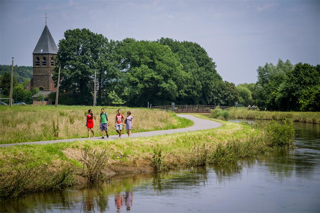
Put on your walking shoes for a surprisingly varied tour! Flat hiking trails on the banks of the Demer lead you to the Konijnenberg, from where you have a beautiful view of the surroundings. Want to make your hike even more adventurous? Then take your tent and sleep one night on the bivouac area at Konijnenberg!
This hike is offered by Tourism Flemish Brabant.
automatic translation
 nodes to follow
0 km
1.5 km
2.3 km
4.2 km
4.6 km
5.8 km
6.5 km
7.8 km
8 km
9.8 km
10.7 km
12.3 km
Sunday, May 21, 2023 by Tony MintenToday I did this route again (while walking). I parked at the pool and started from there. Very nice route, with some small inclines. I always look forward to the pleasant views. Beware; the kp are sometimes hidden in the hedge and vegetation, though it almost points itself out.
automatic translation
Saturday, March 11, 2023 by Werner LaeversWonderful hike. You should indeed as in the previous reviews have waterproof hiking boots. If you wear those , no problem, otherwise you are going to have wet feet :) At the end when you follow node 410 the sign disappeared somewhere, but if you think logically this is not a problem. Highly recommended , this hike.
automatic translation
Sunday, October 17, 2021 by Tony MintenVery nice route with diverse trails with some technical trails. Best to put on hiking boots or trail shoes. I practice there regularly! Keep a close eye on the trail junction signs.
automatic translation
Tuesday, July 28, 2020 by S.S.Nice varied walk, along the water, fields and through bits of forest....
automatic translation


 Upgrade to Premium Plus
